
021P07 Wishart Point Canada topo map, 1:50,000 scale
021P07 Wishart Point NRCAN topographic map.
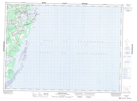
Includes UTM and GPS geographic coordinates (latitude and longitude). This 50k scale map is suitable for hiking, camping, and exploring, or you could frame it as a wall map.
Printed on-demand using high resolution, on heavy weight and acid free paper, or as an upgrade on a variety of synthetic materials.
Topos available on paper, Waterproof, Poly, or Tyvek. Usually shipping rolled, unless combined with other folded maps in one order.
- Product Number: NRCAN-021P07
- Parent Topo: TOPO-021P
- Map ID also known as: 021P07, 21P7, 21P07
- Unfolded Size: Approximately 26" high by 36" wide
- Weight (paper map): ca. 55 grams
- Map Type: POD NRCAN Topographic Map
- Map Scale: 1:50,000
- Geographical region: New Brunswick, Canada
Neighboring Maps:
All neighboring Canadian topo maps are available for sale online at 1:50,000 scale.
Purchase the smaller scale map covering this area: Topo-021P
Spatial coverage:
Topo map sheet 021P07 Wishart Point covers the following places:
- Anderson Cove - Anse des Richard - Big Cove - Chamberlains Cove - French Cove - Golfe du Saint-Laurent - Golfe Saint-Laurent - Gulf of St. Lawrence - Miramichi Bay - Neguac Bay - Ruisseau à Agnée - Ruisseau à Brideau - Ruisseau à Euchère - Ruisseau à Georges - Ruisseau à Thibodeau - Ruisseau Sureau Blanc - Tabusintac Bay - Williams Cove - Neguac Beach - Tabusintac Beach - Tracadie Beach - Barreau Point - Bass Point - Birch Point - Black Point - Burkes Point - Cap à Julien - Chamberlains Point - Church Point - Ferguson Point - Ferguson Point - Ferry Point - Foster Point - Jackos Point - Johns Point - McEacherns Point - McRaws Point - Palmer Point - Point au Lac - Point of Marsh - Pointe à Agnée - Pointe à Barreau - Pointe à Breau - Pointe à Canache - Pointe à François - Pointe à Gautreau - Pointe à l'Évêque - Pointe à Maurice - Pointe à Nazaire - Pointe à Roussell - Pointe à Sinai - Pointe à Tom - Pointe à William - Pointe au Belvidore - Pointe au Lac - Pointe au Terra Noir - Pointe de la Hêtrière - Pointe de l'Ile - Pointe des Richard - Ross Point - Swinging Point - Upper Point - Wishart Point - Bass Fishing Channel - Big Tracadie River Gully - Ferguson Gully - Old Seal Gully - Old Tabusintac Gully - Tabusintac Gully - Tabusintac Gully - Tracadie South Gully - Alnwick - Gloucester - Northumberland - Saumarez - Brant Island - Crab Island - Hay Island - Île au Cheval - McLeods Island - Whiskey Island - Grand Lac - Grand Lake - Neguac Lagoon - Somersons Pond - Tabusintac Lagoon - The Lake - Val Comeau Provincial Park - Big Cove Brook - Big Tracadie River - Burkes Brook - Fraser Brook - Leech River - Limekiln Brook - Lufburys Brook - Palmers Brook - Portage Creek - Portage River - Rivière à Comeau - Rivière du Portage - Robertson Brook - Ruisseau à Israël - Ruisseau à Nicolas - Ruisseau à Sylvain - Ruisseau des Nat - Ruisseau du Portage - Tabusintac River - Tracadie River - Trout Stream - Murray Shoals - Tracadie-Sheila - Bayshore - Benoit - Brantville - Leech - Légère - Pont Lafrance - Pontgravé - Pont-Lafrance - Portage River - Rivière-du-Portage - Saint-Pons - Saumarez - Sheila - Sonier - St. Pons - St-Pons - Tracadie Beach - Upper Sheila - Val-Comeau - Wishart Point - Black Lands - MacWilliams Marsh - Pré à Silvain - Pré à Sylvain - Red Marsh


