
021O08 California Lake Canada topo map, 1:50,000 scale
021O08 California Lake NRCAN topographic map.
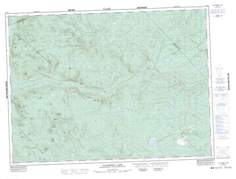
Includes UTM and GPS geographic coordinates (latitude and longitude). This 50k scale map is suitable for hiking, camping, and exploring, or you could frame it as a wall map.
Printed on-demand using high resolution, on heavy weight and acid free paper, or as an upgrade on a variety of synthetic materials.
Topos available on paper, Waterproof, Poly, or Tyvek. Usually shipping rolled, unless combined with other folded maps in one order.
- Product Number: NRCAN-021O08
- Parent Topo: TOPO-021O
- Map ID also known as: 021O08, 21O8, 21O08
- Unfolded Size: Approximately 26" high by 36" wide
- Weight (paper map): ca. 55 grams
- Map Type: POD NRCAN Topographic Map
- Map Scale: 1:50,000
- Geographical region: New Brunswick, Canada
Neighboring Maps:
All neighboring Canadian topo maps are available for sale online at 1:50,000 scale.
Purchase the smaller scale map covering this area: Topo-021O
Spatial coverage:
Topo map sheet 021O08 California Lake covers the following places:
- Indian Falls - Balmoral - Bathurst - Gloucester - Northesk - Northumberland - Restigouche - Ahearn Pond - Blue Ledge Lake - Bowser Lake - Burnt Woods Lake - California Lake - California Spruce Lake - Canoe Landing Lake - Caribou Lake - Coles Ponds - Fogans Lake - Goodwin Lake - Grants Lake - Halfmile Lake - Halfmile Lakes - Halfmoon Lake - Hartts Lake - Indian Lake - Island Lake - Knoll Spruce Lake - Little River Lake - Little Rocky Lake - Long Pond - Long Ponds - McCormack Lake - Muddy Lake - North Little River Lake - Nowlan Lake - Orlo Brook Lakes - Otter Lake - Packsack Lake - Rocky Lake - Roger Lake - Round Lake - Sole Leather Lake - South Branch Lake - South Little River Lake - Spruce Lake - Strachens Lake - Three Corner Lake - Tomogonops Lake - Upsalquitch Lake - Whitebirch Lake - Acadian Ridge - Acadians Range - Big Bluff - Chiefs Mountain - Historian Ridge - Historians Range - Little Bald Mountain - Maliseet Mountain - Micmac Mountain - Mount Acquin - Mount Ambroise - Mount Bill Gray - Mount Chamberlain - Mount Cox - Mount Dashwood - Mount Denys - Mount Enaud - Mount Fisher - Mount Francis - Mount Fronsac - Mount Ganong - Mount Halion - Mount Hannay - Mount Julian - Mount MacIntosh - Mount Manny - Mount Membertou - Mount Moses - Mount Murdoch - Mount Perley - Mount Raymond - Mount Scudon - Mount Squires - Mount Venning - Mount Winemowet - MountNeptune - Naturalist Ridge - Naturalists Mountains - Red Pine Knoll - Winemowet Mountain - Winemowet Mountain - Paradise Pool - Ahearn Brook - Alder Brook - Aubrey Brook - Baldy Brook - Batemans Brook - Beaver Brook - Blue Ledge Brook - Bogan Brook - Boucher Brook - Burnt Woods Brook - Coles Brook - Devils Elbow Brook - East Branch Devils Elbow Brook - East Branch Forty Four Mile Brook - East Branch Moody Brook - East Moody Brook - Fifty Mile Brook - Flaherty Brook - Fly Tent Brook - Fogans Lake Brook - Forty Four Mile Brook - Forty Mile Brook - Forty Two Brook - Fortymile Brook - Fronsac Brook - Gill Brook - Grants Brook - Hartts Lake Brook - Indian Brook - Indian Falls Brook - Lazares Brook - Little Elbow Brook - Little River - Little River - Little South Branch Tomogonops River - Little South Tomogonops River - Lower South Branch Nepisiguit River - Lower South Branch Nipisiguit River - Moody Brook - Moose Brook - Muddy Lake Brook - Nepisiguit Brook - Nepisiguit River - Nine Mile Brook - Ninemile Brook - Nipisiguit River - North Branch Otter Brook - North Branch Tomogonops River - North Otter Brook - Northwest Miramichi River - Orlo Brook - Otter Brook - Peters Brook - Rocky Brook - Roger Brook - Sole Leather Lake Brook - South Branch Forty Mile Brook - South Branch Middle River - South Branch Nepisiguit River - South Branch Northwest Miramichi River - South Branch Tomogonops River - South Fortymile Brook - South Nepisiguit River - South Tomogonops River - Southeast Upsalquitch River - Three Corner Lake Brook - Tomogonops River - Tower Brook - Upper South Little River - West Branch Forty Four Mile Brook - West Forty Four Mile Brook - Whitebirch Brook - Devils Elbow - Emerys Bogan - McEwans Bogan - Allens Rocks - Fifty Two Mile Rocks - Heath Steele - Indian Falls Depot - Mathias Landing - Dry Gulch - Emery Gulch - Emerys Gulch - Pentland Gulch


