
021N16 Wild Goose Lake Canada topo map, 1:50,000 scale
021N16 Wild Goose Lake NRCAN topographic map.
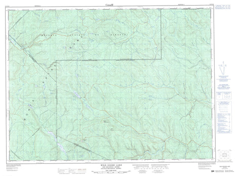
Includes UTM and GPS geographic coordinates (latitude and longitude). This 50k scale map is suitable for hiking, camping, and exploring, or you could frame it as a wall map.
Printed on-demand using high resolution, on heavy weight and acid free paper, or as an upgrade on a variety of synthetic materials.
Topos available on paper, Waterproof, Poly, or Tyvek. Usually shipping rolled, unless combined with other folded maps in one order.
- Product Number: NRCAN-021N16
- Parent Topo: TOPO-021N
- Map ID also known as: 021N16, 21N16
- Unfolded Size: Approximately 26" high by 36" wide
- Weight (paper map): ca. 55 grams
- Map Type: POD NRCAN Topographic Map
- Map Scale: 1:50,000
- Geographical region: New Brunswick, Canada
Neighboring Maps:
All neighboring Canadian topo maps are available for sale online at 1:50,000 scale.
Purchase the smaller scale map covering this area: Topo-021N
Spatial coverage:
Topo map sheet 021N16 Wild Goose Lake covers the following places:
- Ango - Asselin - Auclair - Restigouche - Rouillard - Saint-Quentin - Barrage Asselin - Barrage du Castor - Barrage du Petit-Lac-Lajoie - Barrage du Ruisseau-Lajoie - Barrage Lajoie - Écluse Santerre - Étang à Georges - Étang Valandel - Étangs Plats - Étangs Valandel - Lac à Jos de la Veuve - Lac à l'Ours - Lac Ango - Lac Asselin - Lac Claude - Lac Daniel - Lac de la Cache - Lac de la Perdrix - Lac de l'Écluse Santerre - Lac de l'Écurie - Lac du Castor - Lac du Père-Fournier - Lac Julie - Lac Labbé - Lac Lajoie - Lac Matra - Lac Morin - Lac Raymond - Lac Santerre - Lac Sec - Lac Senan - Le Grand Étang - Les Étangs - Les Petits Étangs - Miller Lake - Mud Lake - Petit lac Lajoie - Petit lac Morin - Sixième Lac - Third Lake - Twin Lakes - Wild Goose Lake - Montagne Belzile - Montagne de la Croix à Pinet - Montagne de la Forteresse - Montagne de la Traverse du Castor - Montagne du Castor - Montagne du Lac Lajoie - Montagne du Poulailler - Monts Notre-Dame - Mount Atkinson - Rimouski-Neigette - Lac-Huron - Réserve faunique de Rimouski - Zec Owen - Albert Brook - Atkinson Brook - Bear Brook - Beaver Brook - Belle Kedgwick River - Belle Kedgwick River - Branche du Ruisseau Dionne - Cedar Brook - Chisholm Brook - Connors Brook - Dionne Brook - Fifteen Mile Brook - Fire Trail Branch - Fire Trail Brook - Green River - Indian Brook - Lake Branch - Left Hand Branch Belone Brook - Lefthand Belone Brook - Little Fifteen Mile Brook - McDonald Brook - Meadow Brook - Meadow Gulch - Middle Branch Belle Kedgwick River - Miller Brook - Moose Valley Brook - Otter Brook - Otter Brook - Pemouet Branch - Pemouet Brook - Pemouet Brook - Poplar Brook - Portage Brook - Prices Brook - Purvis Brook - Quigley Brook - Right Hand Branch Belone Brook - Right Hand Branch Green River - Righthand Belone Brook - Rimouski River - Rivière Horton - Rivière Owen - Rivière Rimouski - Rivière Touladi - Ruisseau Albert - Ruisseau Asselin - Ruisseau Bog - Ruisseau Bogue - Ruisseau Chisholm - Ruisseau des Henri - Ruisseau des Larmes - Ruisseau Dionne - Ruisseau Dionne - Ruisseau du Castor - Ruisseau Flat - Ruisseau Lajoie - Ruisseau Larley - Ruisseau McLean - Ruisseau Morin - Ruisseau Plat - Ruisseau Plat - Ruisseau Plourde - Ruisseau Quigley - Ruisseau Raymond - Ruisseau Tamahagan - Ruisseau Trestle - South Branch Kedgwick River - Sport Camp Brook - Third Lake Brook - Twenty Seven Mile Brook - Twin Brook - West Branch Union Brook - West Union Brook - Wild Goose Branch - La Nativité - Summit Depot - Bouchard Gulch - Coulée Creuse - Eighteen Mile Gulch - LeBlanc Gulch - Six Mile Gulch - Bogues à Garneau - Marais Garneau - Biencourt - Esprit-Saint - Lejeune - Saint-Godard-de-Lejeune - Saint-Michel-du-Squatec


