
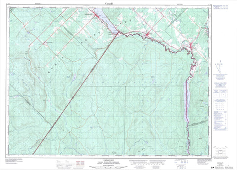
021N06 Estcourt Canada topo map, 1:50,000 scale
021N06 Estcourt NRCAN topographic map.
Includes UTM and GPS geographic coordinates (latitude and longitude). This 50k scale map is suitable for hiking, camping, and exploring, or you could frame it as a wall map.
Printed on-demand using high resolution, on heavy weight and acid free paper, or as an upgrade on a variety of synthetic materials.
Topos available on paper, Waterproof, Poly, or Tyvek. Usually shipping rolled, unless combined with other folded maps in one order.
- Product Number: NRCAN-021N06
- Parent Topo: TOPO-021N
- Map ID also known as: 021N06, 21N6, 21N06
- Unfolded Size: Approximately 26" high by 36" wide
- Weight (paper map): ca. 55 grams
- Map Type: POD NRCAN Topographic Map
- Map Scale: 1:50,000
- Geographical region: New Brunswick, Canada
Neighboring Maps:
All neighboring Canadian topo maps are available for sale online at 1:50,000 scale.
Purchase the smaller scale map covering this area: Topo-021N
Spatial coverage:
Topo map sheet 021N06 Estcourt covers the following places:
- Pointe à Michel - Pointe de la Moitié - Caverne du Glacier - Pohénégamook - Botsford - Bungay - Cabano - Chabot - Estcourt - Painchaud - Pohénégamook - Saint-Athanase - Saint-David - Saint-Éleuthère - Saint-Joseph - Saint-Joseph-de-la-Rivière-Bleue - Cross Lake - Étangs Beaver - Étangs de la Rivière Noire - Étangs du Cinq - Grand lac English - Grew Pond - Lac à Drapeau - Lac à Gyslain - Lac à Jos - Lac à l'Orignal - Lac à Michel - Lac à Pierre - Lac à Ti-Nard - Lac au Foin - Lac aux Canards - Lac aux Castors - Lac aux Ours - Lac aux Pigeons - Lac Bossé - Lac Boucané - Lac Brisson - Lac Dépotoir - Lac des Huards - Lac du Cinq - Lac du Moulin Théberge - Lac Landry - Lac Léo - Lac Long - Lac Noir - Lac Packington - Lac Pis Fin - Lac Pohénégamook - Lac Vaseux - Le Beau Lac - Le Petit Lac - McPherson Pond - Petit lac à la Loutre - Petit lac à l'Ours - Petit lac English - Cross Lake Mountain - Montagne à Jos-Beaulieu - Montagne Brûlée - Montagne de la Base de Plein Air - Montagne de la Tour - Montagne Thompson - Monts Notre-Dame - Sommet Rousseau - Témiscouata - Parc Alphonse-Lévesque - Cross Lake Rapids - Rapide Kelly - Rapides à Landry - Rapides de la Fonderie - Rapides Dolbec - Pic à Balu - Pic à Roland - Branche Côté - Branche Ouest du Ruisseau à l'Eau Claire - Canadian Tuladi Brook - Cours d'eau Bérubé - Cours d'eau Corbin - Cours d'eau du Village - Cours d'eau Dumont - Cours d'eau Dupont - Cours d'eau Émond - Cours d'eau Landry - Cours d'eau Lavoie - Cours d'eau Rodrigue - Cours d'eau Rousseau - Cours d'eau Théberge - Décharge de la Savane - English Touladi Brook - Grande rivière Noire - Petit ruisseau à l'Eau Claire - Petite rivière Bleue - Rivière Bleue - Rivière Cabano - Rivière des Crocs - Rivière Fourchue - Rivière Noire - Rivière Saint-François - Rivière Saint-François - Ruisseau à Chouinard - Ruisseau à Jim - Ruisseau à Jos - Ruisseau à l'Eau Claire - Ruisseau Beaupré - Ruisseau Botsford - Ruisseau Bouchard - Ruisseau de la Coulée Creuse - Ruisseau de la Coulée Creuse - Ruisseau des Sources - Ruisseau du Castor - Ruisseau du Chat Sauvage - Ruisseau du Dix - Ruisseau Landry - Ruisseau Morrison - Ruisseau Pelletier - Ruisseau Providence - Ruisseau Théberge - St. Francis River - Gueule du Jones Brook - Pont de Fer - Pont d'Estcourt - Pont du Couvent - Pont du Quatrième-Rang Est - Pont Providence - Pont Rouge - Source de la Plaine - Aubut - Estcourt - Estcourt - La Suce - La Tarte - Le Bocage - Le Quatre-Cents-Pieds - L'Écluse-à-Tardif - L'Équerre - Moulin-à-Albert - Moulin-à-Vénéran - Pied-du-Lac - Rivière-Bleue - Saint-Athanase - Saint-Éleuthère - Saint-Éleuthère - Sully - Sully - Village-Blier - Coulée Creuse - Coulée Drapeau - Coulée du Wild Cat - Petite coulée Creuse - Rivière-Bleue - Saint-Athanase - Saint-Éleuthère - Saint-Elzéar - Saint-Elzéar-de-Témiscouata - Saint-Joseph-de-la-Rivière-Bleue - Saint-Pierre-d'Estcourt - Sully


