
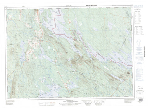
021G12 Forest City Canada topo map, 1:50,000 scale
021G12 Forest City NRCAN topographic map.
Includes UTM and GPS geographic coordinates (latitude and longitude). This 50k scale map is suitable for hiking, camping, and exploring, or you could frame it as a wall map.
Printed on-demand using high resolution, on heavy weight and acid free paper, or as an upgrade on a variety of synthetic materials.
Topos available on paper, Waterproof, Poly, or Tyvek. Usually shipping rolled, unless combined with other folded maps in one order.
- Product Number: NRCAN-021G12
- Parent Topo: TOPO-021G
- Map ID also known as: 021G12, 21G12
- Unfolded Size: Approximately 26" high by 36" wide
- Weight (paper map): ca. 55 grams
- Map Type: POD NRCAN Topographic Map
- Map Scale: 1:50,000
- Geographical region: New Brunswick, Canada
Neighboring Maps:
All neighboring Canadian topo maps are available for sale online at 1:50,000 scale.
Purchase the smaller scale map covering this area: Topo-021G
Spatial coverage:
Topo map sheet 021G12 Forest City covers the following places:
- Balm of Gilead Cove - Big English Cove - Birch Island Cove - Cold Cove - Deadmans Bay - Haley Cove - Little English Cove - Long Island Cove - McAllister Cove - Mosquito Cove - Musquash Cove - Patterson Cove - Perkins Cove - Pirate Cove - Sandy Bay - Sandy Cove - Silas Cove - Tuttle Cove - Haley Point - Hayes Point - Hinkley Point - Norway Point - Pettingill Point - Red Bank - Sandy Point - Bolton Brook Falls - Mud Lake Falls - Canterbury - North Lake - York - Billy Island - Black Island - Hardwood Island - Nan Island - Parker Island - Pillings Mound - The Nubbles - Todds Island - Azesko Lake - Bears Bath Tub - Bolton Lake - Chiputneticook Lakes - East Brook Lake - Grand Lake - Greenland Lake - Liddle Lake - Little Pug Hole - Mud Lake - Musquash Flowage - Musquash Lake - Parker Lake - Pirate Lake - Pug Hole - Spednic Lake - Spednik Lake - Travellers Rest Hole - Tuttle Lake - East Brook Ridge - Parker Lake Ridge - The Ledges - Tuttle Mountain - Tunnel Rips - Big La Coote Stream - Birch Island Brook - Birch Island Brook - Bolton Brook - East Brook - East Greenland Brook - Falls Brook - Forest City Stream - Gobbler Brook - Greenland Brook - Little Dungarvon Brook - Little La Coote Stream - McAllister Brook - Meadow Brook - Mosquito Brook - Mud Lake Stream - Musquash Brook - North Branch Mosquito Brook - Palfrey Brook - Palfrey Stream - Pirate Brook - Pirate Brook - Pughole Brook - South Branch Mosquito Brook - South Pirate Brook - Tuttle Brook - Big Deadwater - Connick Deadwater - Little Deadwater - Forest City - Pemberton - Pemberton Ridge


