
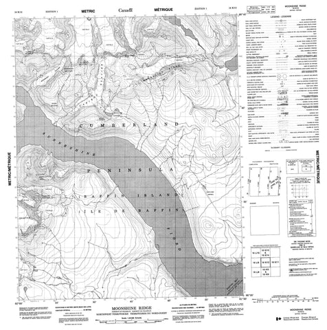
016K12 Moonshine Ridge Canada topo map, 1:50,000 scale
016K12 Moonshine Ridge NRCAN topographic map.
Includes UTM and GPS geographic coordinates (latitude and longitude). This 50k scale map is suitable for hiking, camping, and exploring, or you could frame it as a wall map.
Printed on-demand using high resolution, on heavy weight and acid free paper, or as an upgrade on a variety of synthetic materials.
Topos available on paper, Waterproof, Poly, or Tyvek. Usually shipping rolled, unless combined with other folded maps in one order.
- Product Number: NRCAN-016K12
- Parent Topo: TOPO-016K
- Map ID also known as: 016K12, 16K12
- Unfolded Size: Approximately 26" high by 36" wide
- Weight (paper map): ca. 55 grams
- Map Type: POD NRCAN Topographic Map
- Map Scale: 1:50,000
- Geographical region: Nunavut, Canada
Neighboring Maps:
All neighboring Canadian topo maps are available for sale online at 1:50,000 scale.
Purchase the smaller scale map covering this area: Topo-016K
Spatial coverage:
Topo map sheet 016K12 Moonshine Ridge covers the following places:
- Exeter Bay - Sunneshine Fiord - Cumberland Peninsula - Davis Strait - Détroit de Davis - Arnaq Glacier - Caribou Glacier - Rougemont Glacier - Baffin Island - Île de Baffin - Donard Lakes - Angna Mountain - Blanc Mountain - Disillusion Peak - Moonshine Ridge - Mount Donard - Narwhal Mountain - Rakes Hill - Resolute Mountain - Rougemont Mountain - Snow Gemini Peak - Purgatory Valley - Snake Meadow


