
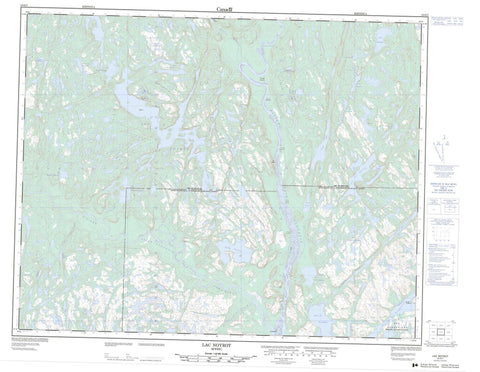
012O07 Lac Noyrot Canada topo map, 1:50,000 scale
012O07 Lac Noyrot NRCAN topographic map.
Includes UTM and GPS geographic coordinates (latitude and longitude). This 50k scale map is suitable for hiking, camping, and exploring, or you could frame it as a wall map.
Printed on-demand using high resolution, on heavy weight and acid free paper, or as an upgrade on a variety of synthetic materials.
Topos available on paper, Waterproof, Poly, or Tyvek. Usually shipping rolled, unless combined with other folded maps in one order.
- Product Number: NRCAN-012O07
- Parent Topo: TOPO-012O
- Map ID also known as: 012O07, 12O7, 12O07
- Unfolded Size: Approximately 26" high by 36" wide
- Weight (paper map): ca. 55 grams
- Map Type: POD NRCAN Topographic Map
- Map Scale: 1:50,000
- Geographical region: Quebec, Canada
Neighboring Maps:
All neighboring Canadian topo maps are available for sale online at 1:50,000 scale.
Purchase the smaller scale map covering this area: Topo-012O
Spatial coverage:
Topo map sheet 012O07 Lac Noyrot covers the following places:
- Anse des Genévriers - Anse Forté - Anse Juniper - Anse Muddy - Baie du Nord-Est - Baie Seal - Pointe Arzenne - Pointe Birchy - Pointe Dutau - Pointe Galoman - Pointe George-Reeve - Pointe Kettle - Pointe Middle Cabin - Pointe Mousnier - Pointe Old-Nick - Pointe Porcupine - Pointe Robinson - Passage de Bougainville - Archipel-de-Saint-Augustin - Bougainville - Verrazzano - Île Boisée - Île Charlie-Bowen - Île des Genévriers - Île du Forgeron - Île du Ruisseau à la Truite - Île Édine - Île Good Fox Point - Île Tshehatshiu - Îles Seal Hole - Deuxième Étang - Étang Belon - Étang de la Vieille Maison - Étang Deer - Étang Dionnet - Étang Frank - Étang George-Reids - Étang Jack's Hole - Étang Jimmy - Étang Muskrat - Étang Pitch - Étang Rasset - Étang Ruchalachani - Étang Tardivet - Étang Tshan Mak Uhakamiskum - Lac Antan Upakauna - Lac Frank-Lessard - Lac Fréjean - Lac Hiauhekakamas - Lac Jack's Hole - Lac Joy - Lac Kaiatatshekamasit - Lac Kainipiapiskau Miskumi - Lac Kakahkatshakamat - Lac Kapikamit Miskumi - Lac Kauahtshauahk - Lac Kauauiakamasit - Lac La Sarre - Lac Mairé - Lac Merveille - Lac Mihen - Lac Miskumi - Lac Muhahini Pahtshikan - Lac Noyrot - Lac Ntshuku - Lac Shutler - Lac Tshani Penpin Umiskumim - Lac Uhakatihku - Lacs Kamitshetakamati - Petits lacs Uhakatihku - Premier Étang - Premier étang Tommy-Feeder - Second étang Tommy-Feeder - Colline Burnt - Colline du Porc-Épic - Colline Twenty-Five Cent - Rapide Peter-Bilodeau - Rapides Nakatshauan - Rapides Old Farm - Rapides Piutakan - Rapides Trout Hall - Rivière Coxipi - Rivière Leande - Rivière Northwest - Rivière Saint-Augustin - Rivière Saint-Augustin Nord-Ouest - Rivière Thunay - Ruisseau à la Truite - Ruisseau Birchy - Ruisseau Bonnier - Ruisseau Dazé - Ruisseau de la Vieille Maison - Ruisseau Donais - Ruisseau Forel - Ruisseau Gin - Ruisseau Kahtsheuan - Ruisseau Kapikamit Miskumi - Ruisseau Kauahtshauahk - Ruisseau Muskrat - Ruisseau Northeast - Ruisseau Ntshuku - Ruisseau Otto - Ruisseau Riquet - Ruisseau Ruchalachani - Ruisseau Tommy-Feeder - Portage Kamista - Big Mesh - Etin Kahinikuauminan - Kaiakuanakanti Uta - Kanuhpiamiskat - Uhakamiskua - Ravin Gallibois - Saint-Augustin


