
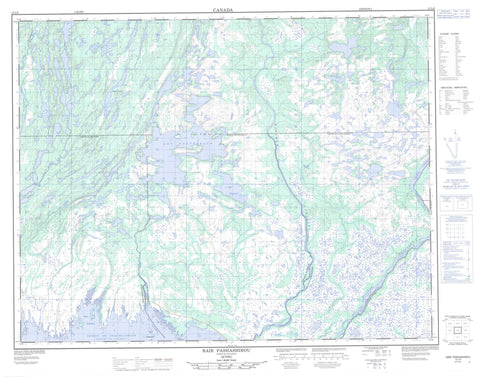
012L08 Baie Pashashibou Canada topo map, 1:50,000 scale
012L08 Baie Pashashibou NRCAN topographic map.
Includes UTM and GPS geographic coordinates (latitude and longitude). This 50k scale map is suitable for hiking, camping, and exploring, or you could frame it as a wall map.
Printed on-demand using high resolution, on heavy weight and acid free paper, or as an upgrade on a variety of synthetic materials.
Topos available on paper, Waterproof, Poly, or Tyvek. Usually shipping rolled, unless combined with other folded maps in one order.
- Product Number: NRCAN-012L08
- Parent Topo: TOPO-012L
- Map ID also known as: 012L08, 12L8, 12L08
- Unfolded Size: Approximately 26" high by 36" wide
- Weight (paper map): ca. 55 grams
- Map Type: POD NRCAN Topographic Map
- Map Scale: 1:50,000
- Geographical region: Quebec, Canada
Neighboring Maps:
All neighboring Canadian topo maps are available for sale online at 1:50,000 scale.
Purchase the smaller scale map covering this area: Topo-012L
Spatial coverage:
Topo map sheet 012L08 Baie Pashashibou covers the following places:
- Baie Jalobert - Baie Mascanin - Baie Pashashibou - Pointe Pashashibou - Détroit de Jacques-Cartier - Aguanish - Costebelle - Drucourt - Goynish - La Richardière - Île de la Dalle - Île Mahk Niatauit - Îles Pashashibou - Rocher Jalobert - Lac Caron - Lac Costebelle - Lac Matshahtshikua Kaiakuteti - Lac Mehtshekuakamau - Lac Pastour - Lac Staurolit - Lacs Atamus Kaiapit - Lacs Kapiuahikuekant - Lacs Mahkuhiu - Mingan Archipelago National Park Reserve of Canada - Refuge d'oiseaux de Watshishou - Réserve de parc national du Canada de l'Archipel-de-Mingan - Watshishou Bird Sanctuary - Les Plaines - Petite rivière de l'Est - Petite rivière de l'Ouest - Petite rivière du Milieu - Petite rivière Watshishou - Rivière Aguanish - Rivière Aguanus - Rivière Dany - Rivière de l'Île Michon - Rivière Hendler - Rivière Nabisipi - Rivière Pashashibou - Rivière Pihu - Rivière Pontbriand - Rivière Watshishou - Ruisseau de la Chaîne d'Îles - Ruisseau des Trois Soeurs - Ruisseau Kaiakuaniau - Ruisseau Kapminau - Ruisseau Pihu - Le Trait de Scie


