
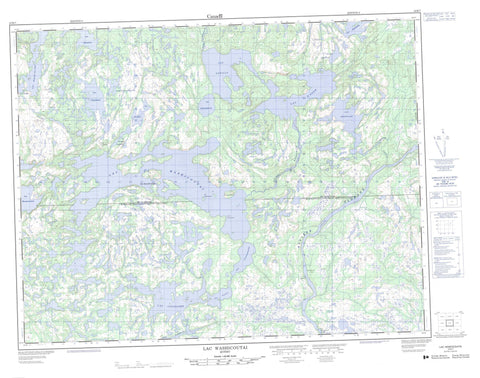
012K07 Lac Washicoutai Canada topo map, 1:50,000 scale
012K07 Lac Washicoutai NRCAN topographic map.
Includes UTM and GPS geographic coordinates (latitude and longitude). This 50k scale map is suitable for hiking, camping, and exploring, or you could frame it as a wall map.
Printed on-demand using high resolution, on heavy weight and acid free paper, or as an upgrade on a variety of synthetic materials.
Topos available on paper, Waterproof, Poly, or Tyvek. Usually shipping rolled, unless combined with other folded maps in one order.
- Product Number: NRCAN-012K07
- Parent Topo: TOPO-012K
- Map ID also known as: 012K07, 12K7, 12K07
- Unfolded Size: Approximately 26" high by 36" wide
- Weight (paper map): ca. 55 grams
- Map Type: POD NRCAN Topographic Map
- Map Scale: 1:50,000
- Geographical region: Quebec, Canada
Neighboring Maps:
All neighboring Canadian topo maps are available for sale online at 1:50,000 scale.
Purchase the smaller scale map covering this area: Topo-012K
Spatial coverage:
Topo map sheet 012K07 Lac Washicoutai covers the following places:
- Pointe Kaniapuhteht - Chute Kanakauakant Anipi - Duchesneau - La Gorgendière - Lalande - Île Nakatshauan - Îles Uapuhinukua - Lac Andilly - Lac Bonnemer - Lac Couillard - Lac Courtemanche - Lac D'Aune - Lac de la Chapelle - Lac du Grand Portage - Lac Grenolle - Lac Hehipitan Kaiakutet - Lac Kaiatauakamat - Lac Katshihtauakunetshipanant - Lac Marie-Claire - Lac Marie-Claire - Lac Matakahp - Lac Menakan - Lac Musquanousse - Lac Pachot - Lac Pun Itis Umiskumim - Lac Washicoutai - Lacs Uhkahkuteu - Rivière Grande Romaine - Rivière Olomane - Rivière Washicoutai - Ruisseau Uepihekau - Portage Uhkahkuteu - Eka Kamahkauatihk - Kauapukueht Kaiapit - Mistahini - Mistamahkuhua


