
001M15 Gisborne Lake Canada topo map, 1:50,000 scale
001M15 Gisborne Lake NRCAN topographic map.
Includes UTM and GPS geographic coordinates (latitude and longitude). This 50k scale map is suitable for hiking, camping, and exploring, or you could frame it as a wall map.
Printed on-demand using high resolution, on heavy weight and acid free paper, or as an upgrade on a variety of synthetic materials.
Topos available on paper, Waterproof, Poly, or Tyvek. Usually shipping rolled, unless combined with other folded maps in one order.
- Product Number: NRCAN-001M15
- Parent Topo: TOPO-001M
- Map ID also known as: 001M15, 01M15, 1M15
- Unfolded Size: Approximately 26" high by 36" wide
- Weight (paper map): ca. 55 grams
- Map Type: POD NRCAN Topographic Map
- Map Scale: 1:50,000
- Geographical region: Newfoundland and Labrador, Canada
Neighboring Maps:
All neighboring Canadian topo maps are available for sale online at 1:50,000 scale.
Purchase the smaller scale map covering this area: Topo-001M
Spatial coverage:
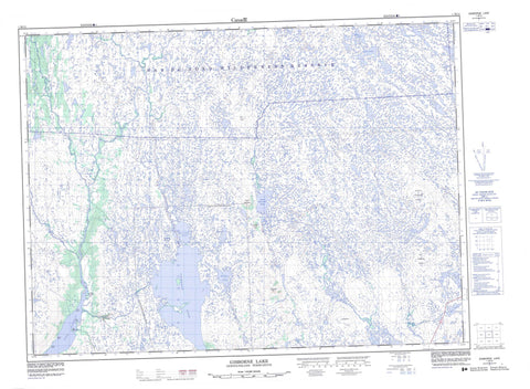
Topo map sheet 001M15 Gisborne Lake covers the following places:
- Billy Bight - Long Harbour - Mat Point - Otter Point - Sandy Point - William Point - Billy Island - Flaherty Island - Allens Pond - Dunns Mountain Pond - Dunns Pond - Gisborne Lake - Mary Ann Pond - Murrays Pond - Old Womans Pond - Otter Pond - Pin Hill Pond - Salmon Pond - Shoal Pond - Sock Pond - Carrols Hat - Dunns Mountain - Nine Mile Hill - Old Womans Ridge - Pin Hill - Sandy Harbour Ridge - Whaleback - Bay du Nord Wilderness Reserve - Beaver Brook - Big Rock Brook - Dunns Brook - Hat Brook - Juniper Brook - Kane Brook - Little Dunns Brook - Long Harbour River - Mary Ann Brook - Paradise River - Pin Hill Brook - Sandy Harbour River - Southwest Brook - Terenceville Brook - Terrenceville Brook - Tolt Brook - Wigman Brook - Grand Le Pierre


