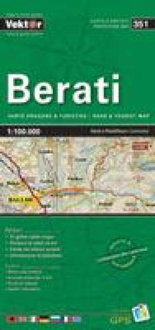
Berati road & tourist map 1:100,000 = Berati hartë rrugore & turistike 1:100,000
The map shows elevation using contour lines, color tinting, and spot heights. The road network is clearly marked with distances between road junctions. About ten different symbols locate tourist sites such as caves, ski areas, archaeological sites, religious sites, airports, ports, and camping sites. With a city/village index and multilingual legend.
- Product Number: VKT_BERATI_13
- Reference Product Number: 2298506M
- ISBN: 9789604487783
- Date of Publication: 6/1/2013
- Folded Size: 9.45 inches high by 4.72 inches wide
- Unfolded (flat) Size: 27.17 inches high by 19.29 inches wide
- Map format: Folded
- Map type: Trade Maps - Tourist
- Geographical region: Albania

