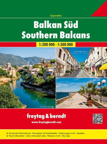
Balkan South, road atlas 1:200,000 - 1:500,000
Road Atlas of the southern Balkan states from Freytag & Berndt in an A4, spiral-bound format, with coverage of each country presented in a separate section at 1:200,000 or 1:500,000, plus an overview of the whole region for route planning at 1:1,000,000.
Maps and their indexes are arranged by country and cover at 1:200,000 Bosnia-Herzegovina, Serbia, Montenegro, Kosovo, Macedonia and Albania, each accompanied by a street plan of its capital, plus at 1:500,000 Greece, Bulgaria and Romania with Moldova (without street plans). Detailed presentation of the road network includes selected country tracks and paths, motorway services, toll routes, steep gradients, seasonal closures, roads closed to motorized traffic and/or not recommended for caravans, etc. Scenic roads and special tourist routes are highlighted; driving distances are marked on main and on many smaller local roads. Railway lines are shown with stations, ferry routes are included and local airports are marked.
P
- Product Number: FB_BALKANS_S_AT_18
- Reference Product Number: 2318707
- ISBN: 9783707914207
- Date of Publication: 7/4/2018
- Folded Size: 11.79 inches high by 9.43 inches wide
- Unfolded (flat) Size: 11.79 inches high by 9.43 inches wide
- Map format: - None -
- Map type: Atlases - Popular/Travel
- Geographical region: Albania,Bosnia and Herzegovina,Bulgaria,Greece,Kosovo,Macedonia,Moldova,Montenegro,Romania,Serbia