
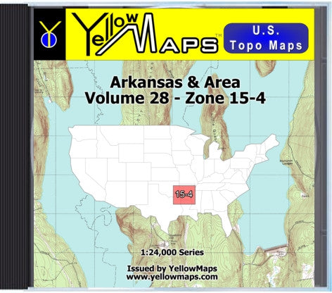
YellowMaps U.S. Topo Maps Volume 28 (Zone 15-4) Arkansas & Area
This is a collection of 1536 digital topographic maps on Data-DVD. The maps are Digital Raster Graphics (DRGs) produced by the U.S. Geological Survey (USGS).
The map images found on this disk are in GIF format at a scale of 1:24,000 and/or 1:25,000 for the following area:
36° N Latitude / 96° W Longitude - 32° N Latitude / 90° W Longitude.
You can access the raw images files in GIF format. You can view, print and work with these maps just as you would with digital photographs, using any image editing software.
Map DVD Features:
* Area: 36° N Latitude / 96° W Longitude - 32° N Latitude / 90° W Longitude.
* Coverage: Arkansas & Area, Southeastern Oklahoma, Northeastern Texas, Northern Louisiana, Northwestern Mississippi, Southwest corner of Tennessee
* 1536 topographic maps
* 1:24,000 and/or 1:25,000 scale
* USGS topographic maps
* GIF images on Data-DVD
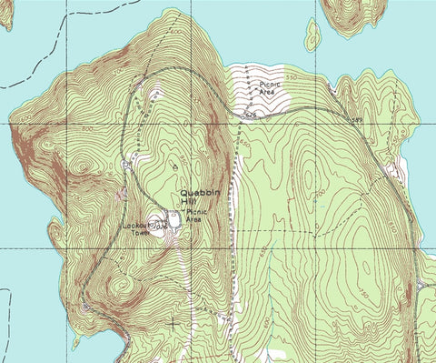
* View Sample Map
System Requirements:
* PC or Mac
* DVD drive
* 500 MHz processor or better
* 512 MB RAM (Recommended: 1 GB)
* 256 color display or better
* Mouse or other pointing device
The map images found on this disk are in GIF format at a scale of 1:24,000 and/or 1:25,000 for the following area:
36° N Latitude / 96° W Longitude - 32° N Latitude / 90° W Longitude.
You can access the raw images files in GIF format. You can view, print and work with these maps just as you would with digital photographs, using any image editing software.
Map DVD Features:
* Area: 36° N Latitude / 96° W Longitude - 32° N Latitude / 90° W Longitude.
* Coverage: Arkansas & Area, Southeastern Oklahoma, Northeastern Texas, Northern Louisiana, Northwestern Mississippi, Southwest corner of Tennessee
* 1536 topographic maps
* 1:24,000 and/or 1:25,000 scale
* USGS topographic maps
* GIF images on Data-DVD
* View Sample Map
System Requirements:
* PC or Mac
* DVD drive
* 500 MHz processor or better
* 512 MB RAM (Recommended: 1 GB)
* 256 color display or better
* Mouse or other pointing device


