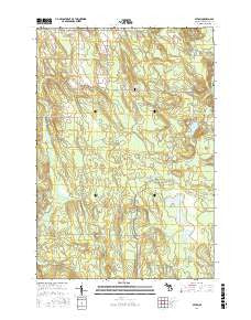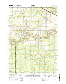
~ Hardscrabble Mountains NM topo map, 1:24000 scale, 7.5 X 7.5 Minute, Current, 2017
Hardscrabble Mountains, New Mexico, USGS topographic map dated 2017.
Includes geographic coordinates (latitude and longitude). This topographic map is suitable for hiking, camping, and exploring, or framing it as a wall map.
Printed on-demand using high resolution imagery, on heavy weight and acid free paper, or alternatively on a variety of synthetic materials.
Topos available on paper, Waterproof, Poly, or Tyvek. Usually shipping rolled, unless combined with other folded maps in one order.
- Product Number: USGS-8660598
- Free digital map download (high-resolution, GeoPDF): Hardscrabble Mountains, New Mexico (file size: 19 MB)
- Map Size: please refer to the dimensions of the GeoPDF map above
- Weight (paper map): ca. 55 grams
- Map Type: POD USGS Topographic Map
- Map Series: US Topo
- Map Verison: Current
- Cell ID: 19311
- Datum: North American Datum of 1983
- Map Projection: Transverse Mercator
- Map Cell Name: Hardscrabble Mountains
- Grid size: 7.5 X 7.5 Minute
- Date on map: 2017
- Map Scale: 1:24000
- Geographical region: New Mexico, United States
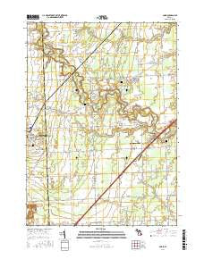
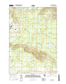
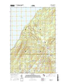
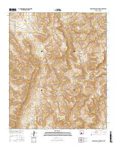
Neighboring Maps:
All neighboring USGS topo maps are available for sale online at a variety of scales.
Spatial coverage:
Topo map Hardscrabble Mountains, New Mexico, covers the geographical area associated the following places:
- Red Hill Well - Bosque Spring - Skillet Knob - Bear Den Canyon - Potter Ranch - Granite canyon - Panther Seep - Lower Hardscrabble Spring - Potter Ranch Headquarters (historical) - Amole Ridge - Black Bear Mine - Hardin Ranch - Grandaddy Peak - Dugout Springs - Towner Well - Cantrell Well - F E Henderson - Hardscrabble Mountains - Hardscrabble Canyon - Hardscrabble Well - Miller Ranch Headquarters - Black Den Tank - Rock House Spring - Seep Canyon - Glennis Saddle - Rhodes Spring - Bosque Canyon - Red House Well - Panther Canyon - Tip Top Mesa - Waterhole Canyon - Hardscrabble Spring - Jones Seep - Granite Gap - Bear Den Spring - Bear Den Well - Bear Den Tank - Indian Trail Gap - Seep Springs - Bear Den Canyon - Fleming Well - Rhodes Pass
- Map Area ID: AREA33.2533.125-106.75-106.625
- Northwest corner Lat/Long code: USGSNW33.25-106.75
- Northeast corner Lat/Long code: USGSNE33.25-106.625
- Southwest corner Lat/Long code: USGSSW33.125-106.75
- Southeast corner Lat/Long code: USGSSE33.125-106.625
- Northern map edge Latitude: 33.25
- Southern map edge Latitude: 33.125
- Western map edge Longitude: -106.75
- Eastern map edge Longitude: -106.625