
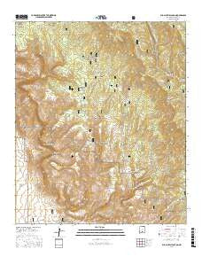
~ Bug Scuffle Canyon NM topo map, 1:24000 scale, 7.5 X 7.5 Minute, 2017
Bug Scuffle Canyon, New Mexico, USGS topographic map dated 2017.
Includes geographic coordinates (latitude and longitude). This topographic map is suitable for hiking, camping, and exploring, or framing it as a wall map.
Printed on-demand using high resolution imagery, on heavy weight and acid free paper, or alternatively on a variety of synthetic materials.
Topos available on paper, Waterproof, Poly, or Tyvek. Usually shipping rolled, unless combined with other folded maps in one order.
- Product Number: USGS-8640947
- Free digital map download (high-resolution, GeoPDF): Bug Scuffle Canyon, New Mexico (file size: 30 MB)
- Map Size: please refer to the dimensions of the GeoPDF map above
- Weight (paper map): ca. 55 grams
- Map Type: POD USGS Topographic Map
- Map Series: US Topo
- Map Verison: Current
- Cell ID: 6100
- Datum: North American Datum of 1983
- Map Projection: Transverse Mercator
- Map Cell Name: Bug Scuffle Canyon
- Grid size: 7.5 X 7.5 Minute
- Date on map: 2017
- Map Scale: 1:24000
- Geographical region: New Mexico, United States
Neighboring Maps:
All neighboring USGS topo maps are available for sale online at a variety of scales.
Spatial coverage:
Topo map Bug Scuffle Canyon, New Mexico, covers the geographical area associated the following places:
- Bug Scuffle Hill - Pine Spring Canyon - Burnt Ridge - Little Cherry Spring - Wright Spring - Snaky Canyon - North Fork Negro Ed Canyon - Moore Tank - Pasture Ridge Tank - Gobbler Knob - Dripping Spring - Table Top - Danley Canyon - Moore Ridge - McCracken Canyon - Ellis Wright Canyon - Rock Waterhole Canyon - Hornbuckle Canyon - Sacramento Side Camp - Wild Boy Spring - Pine Spring - Turkey Roost Tank - Bug Scuffle Canyon - Wild Boy Canyon - Pasture Ridge - Sacramento Lookout Tower - Grapevine Canyon - Corner Dry Pasture Tank - McCracken Ranch - Jake Tank - Jakes Ridge - South Fork Negro Ed Canyon
- Map Area ID: AREA32.7532.625-105.875-105.75
- Northwest corner Lat/Long code: USGSNW32.75-105.875
- Northeast corner Lat/Long code: USGSNE32.75-105.75
- Southwest corner Lat/Long code: USGSSW32.625-105.875
- Southeast corner Lat/Long code: USGSSE32.625-105.75
- Northern map edge Latitude: 32.75
- Southern map edge Latitude: 32.625
- Western map edge Longitude: -105.875
- Eastern map edge Longitude: -105.75


