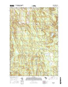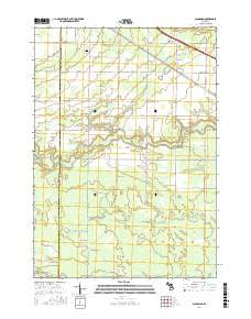
~ Belle Harbor MI topo map, 1:24000 scale, 7.5 X 7.5 Minute, Current, 2017
Belle Harbor, Michigan, USGS topographic map dated 2017.
Includes geographic coordinates (latitude and longitude). This topographic map is suitable for hiking, camping, and exploring, or framing it as a wall map.
Printed on-demand using high resolution imagery, on heavy weight and acid free paper, or alternatively on a variety of synthetic materials.
Topos available on paper, Waterproof, Poly, or Tyvek. Usually shipping rolled, unless combined with other folded maps in one order.
- Product Number: USGS-8619724
- Free digital map download (high-resolution, GeoPDF): Belle Harbor, Michigan (file size: 19 MB)
- Map Size: please refer to the dimensions of the GeoPDF map above
- Weight (paper map): ca. 55 grams
- Map Type: POD USGS Topographic Map
- Map Series: US Topo
- Map Verison: Current
- Cell ID: 3163
- Datum: North American Datum of 1983
- Map Projection: Transverse Mercator
- Map Cell Name: Belle Harbor
- Grid size: 7.5 X 7.5 Minute
- Date on map: 2017
- Map Scale: 1:24000
- Geographical region: Michigan, United States
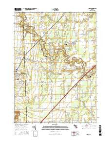
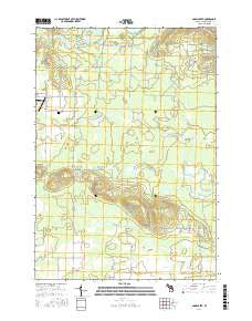
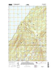
Neighboring Maps:
All neighboring USGS topo maps are available for sale online at a variety of scales.
Spatial coverage:
Topo map Belle Harbor, Michigan, covers the geographical area associated the following places:
- Horner Island - Lane Cove Trail - Tobin Creek - Diamond Island - Lake Ahmik - Duncan Bay Campground - Net Island - Amygdaloid Channel - Dean Island - Robinson Bay - Eagle Island - Cork Island - Dead Horse Rocks - Hancock Beach - Belle Harbor - Clay Island - Johnson Island - The Keyhole - Captain Kidd Island - Belle Isle Campground - Crystal Cove - Fisher Island - Green Island - Belle Isle - Five Finger Bay - Burnt Island - Lane Cove Campground - Hill Point - Chippers Island - Mount Franklin - Heron Island - Picnic Island - Moose Lake - Amygdaloid Island - Stockly Bay - Congdon Shoal - Lauren Grove Park - Patterson Lake - Tookers Island Campground - Mount Franklin Trail - Tobin Harbor Trail - Tallman Island - Tookers Island - Lane Cove - Steamboat Island - Duncan Bay - Fryett Island - Fire Island
- Map Area ID: AREA48.2548.125-88.625-88.5
- Northwest corner Lat/Long code: USGSNW48.25-88.625
- Northeast corner Lat/Long code: USGSNE48.25-88.5
- Southwest corner Lat/Long code: USGSSW48.125-88.625
- Southeast corner Lat/Long code: USGSSE48.125-88.5
- Northern map edge Latitude: 48.25
- Southern map edge Latitude: 48.125
- Western map edge Longitude: -88.625
- Eastern map edge Longitude: -88.5