
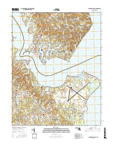
~ Solomons Island MD topo map, 1:24000 scale, 7.5 X 7.5 Minute, 2016
Solomons Island, Maryland, USGS topographic map dated 2016.
Includes geographic coordinates (latitude and longitude). This topographic map is suitable for hiking, camping, and exploring, or framing it as a wall map.
Printed on-demand using high resolution imagery, on heavy weight and acid free paper, or alternatively on a variety of synthetic materials.
Topos available on paper, Waterproof, Poly, or Tyvek. Usually shipping rolled, unless combined with other folded maps in one order.
- Product Number: USGS-8566492
- Free digital map download (high-resolution, GeoPDF): Solomons Island, Maryland (file size: 27 MB)
- Map Size: please refer to the dimensions of the GeoPDF map above
- Weight (paper map): ca. 55 grams
- Map Type: POD USGS Topographic Map
- Map Series: US Topo
- Map Verison: Current
- Cell ID: 42038
- Datum: North American Datum of 1983
- Map Projection: Transverse Mercator
- Map Cell Name: Solomons Island
- Grid size: 7.5 X 7.5 Minute
- Date on map: 2016
- Map Scale: 1:24000
- Geographical region: Maryland, United States
Neighboring Maps:
All neighboring USGS topo maps are available for sale online at a variety of scales.
Spatial coverage:
Topo map Solomons Island, Maryland, covers the geographical area associated the following places:
- Town Creek - Summerville (historical) - Olivet - Drum Point - Cedar Cove - Rousby Hall - Friendly Pines - Solomons - Chesapeake Woods - Carol Court - Hoopers Neck - Southgate - Southampton - Discovery - Preston Point - Park Chesapeake - Town Creek Farm - Hellen Creek Estates - Suburban Estates - Patuxent Park - Chesapeake Ranch Estates - Cherry Hill - Coster - Trueman Pointe - Harbor Light Beach - River View - Spring Cove - Appeal - Spring Valley - Hemlock Estates - Saint Johns Creek - Suburban Mobile Estates - Spencers Wharf - Esperanza Farm - Forest Park - Colony Square - Cove View - Kingston Manor - Cliffs of Calvert - National Mobile Home Park - Lexington Park - Spruce Hill - Dowell - Johnstown - Old House Cove Estates - Town Creek Manor - Old Hickory - Seashore Beach - Pearson (historical) - Newtown - Essex South - Saint Johns Woods - Green Hills - The Sounding - Mattapanient (historical) - Driftwood Beach - Sherlock Mobile Home Estates - Susquehanna (historical) - Jonestown - Greenview Knolls
- Map Area ID: AREA38.37538.25-76.5-76.375
- Northwest corner Lat/Long code: USGSNW38.375-76.5
- Northeast corner Lat/Long code: USGSNE38.375-76.375
- Southwest corner Lat/Long code: USGSSW38.25-76.5
- Southeast corner Lat/Long code: USGSSE38.25-76.375
- Northern map edge Latitude: 38.375
- Southern map edge Latitude: 38.25
- Western map edge Longitude: -76.5
- Eastern map edge Longitude: -76.375


