
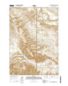
~ Slaughter Reservoir SD topo map, 1:24000 scale, 7.5 X 7.5 Minute, 2015
Slaughter Reservoir, South Dakota, USGS topographic map dated 2015.
Includes geographic coordinates (latitude and longitude). This topographic map is suitable for hiking, camping, and exploring, or framing it as a wall map.
Printed on-demand using high resolution imagery, on heavy weight and acid free paper, or alternatively on a variety of synthetic materials.
Topos available on paper, Waterproof, Poly, or Tyvek. Usually shipping rolled, unless combined with other folded maps in one order.
- Product Number: USGS-8015362
- Free digital map download (high-resolution, GeoPDF): Slaughter Reservoir, South Dakota (file size: 21 MB)
- Map Size: please refer to the dimensions of the GeoPDF map above
- Weight (paper map): ca. 55 grams
- Map Type: POD USGS Topographic Map
- Map Series: US Topo
- Map Verison: Current
- Cell ID: 41671
- Datum: North American Datum of 1983
- Map Projection: Transverse Mercator
- Map Cell Name: Slaughter Reservoir
- Grid size: 7.5 X 7.5 Minute
- Date on map: 2015
- Map Scale: 1:24000
- Geographical region: South Dakota, United States
Neighboring Maps:
All neighboring USGS topo maps are available for sale online at a variety of scales.
Spatial coverage:
Topo map Slaughter Reservoir, South Dakota, covers the geographical area associated the following places:
- Sunny Slope School - Budmayer Ranch - Massie Ranch - Oak Creek Reservoir - Headland Draw - South Branch Grummit Canyon Creek - Heetland Ranch - Nelson Mine - Hutchinson Ranch - South Fork Hay Creek - Slaughter Reservoir - Sisson Mine - Helmer Ranch Mine - Pine Draw Creek - Ribey Ranch - Lightner Ranch - Hall Ranch - Middle Fork Hay Creek - A R Nelson Property Mine - C Helmer Property Mine - Norgrain Hill - Helmer Ranch - Cooper Ranch - Black Vein Seven Mine - State Lease Number 0-22090 Mine - Fuller Ranch - A A Sisson Mine - Williams Ranch - Couch Ranch - North Fork Hay Creek - Heetland Mine - Fishel Ranch - Wolfe Ranch - Helmer Mine - Lake Reservoir Area Number Two Mine - Oak Creek Dam - The Forks - Robinson Ranch - South Branch Grummit Canyon Creek
- Map Area ID: AREA44.7544.625-104.125-104
- Northwest corner Lat/Long code: USGSNW44.75-104.125
- Northeast corner Lat/Long code: USGSNE44.75-104
- Southwest corner Lat/Long code: USGSSW44.625-104.125
- Southeast corner Lat/Long code: USGSSE44.625-104
- Northern map edge Latitude: 44.75
- Southern map edge Latitude: 44.625
- Western map edge Longitude: -104.125
- Eastern map edge Longitude: -104


