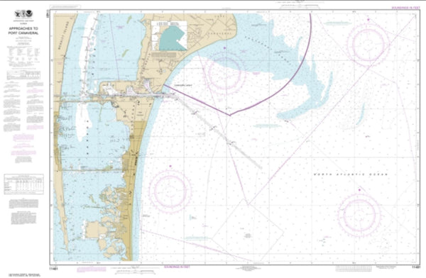
~ Sulphur Springs FL topo map, 1:24000 scale, 7.5 X 7.5 Minute, 2015
Sulphur Springs, Florida, USGS topographic map dated 2015.
Includes geographic coordinates (latitude and longitude). This topographic map is suitable for hiking, camping, and exploring, or framing it as a wall map.
Printed on-demand using high resolution imagery, on heavy weight and acid free paper, or alternatively on a variety of synthetic materials.
Topos available on paper, Waterproof, Poly, or Tyvek. Usually shipping rolled, unless combined with other folded maps in one order.
- Product Number: USGS-8006476
- Free digital map download (high-resolution, GeoPDF): Sulphur Springs, Florida (file size: 33 MB)
- Map Size: please refer to the dimensions of the GeoPDF map above
- Weight (paper map): ca. 55 grams
- Map Type: POD USGS Topographic Map
- Map Series: US Topo
- Map Verison: Current
- Cell ID: 43701
- Datum: North American Datum of 1983
- Map Projection: Transverse Mercator
- Map Cell Name: Sulphur Springs
- Grid size: 7.5 X 7.5 Minute
- Date on map: 2015
- Map Scale: 1:24000
- Geographical region: Florida, United States
Neighboring Maps:
All neighboring USGS topo maps are available for sale online at a variety of scales.
Spatial coverage:
Topo map Sulphur Springs, Florida, covers the geographical area associated the following places:
- Ralston Beach Manor - Pleasant Dale - Sligh Avenue Estates - Gilberts - Vista Bonita - Armenia Court - Golf Manor - Ivinell - Burnette Place - Lago Vista - Coarsey Grove Estates - River Crest Estates - Orens Acres - Brigadoon on Lake Heather - The Hamlet - Country Club Place - Lake Dorothea Park - Golden Ring Groves - Murray Oaks - Bens - Sunrise Villas of Tampa - Hidden Oaks - Ayalas Grove - Palm - Laurel Terrace - Seabron - Angelina Pines - Byrd Lake Woods - Fernwood - Oak Ledge - Montgomery - Mora - Altos Verdes - Lake Carroll Manor - Golfland Park - Lowry Lane - Dykes Place - Lake Ellen Grove - Valmar - Frances Arbor Villas - Temple Braska - Springoak - Temple Bluff - Temple Terrace Riverside - Clifton Park - Indian Village - Jones Estates - Oakwood Manor - North Side Homes - White Trout Manor - Flora Park - Scotts Little Farms - Ridgway - East Point - Oak Springs - Lurline Terrace - Fairview Terrace - Westmoreland Pines - Grandview Acres - Twenty Second Street Heights - Raintree Oaks - Lynnette Estates - Plumnelly - Hillcrest Acres - Hilltop Estates - Center Hill - University Village - College Village - Sylvia - River Bluffs - Alta Vista - Nebraska Acres - Whisper Cove - Country Club Court - Bearss Heights - Terrace Park - Tall Pines - Sutton Place - Banner Oaks - The Arbors - Crenshaw Lakes - Seneca - Castillo - Lake Ellen Walk - Moran Groves - Temple Crest - Scaglione - Pine Lake - Riverside West - Almans Acres - Temple Terrace Estates - Wildwood - Woodhaven - Packwood Oaks - Temple Heights - North Hillsboro - Lake Ridge - Valencia Manor - Fern Cliff - Auburn Highlands
- Map Area ID: AREA28.12528-82.5-82.375
- Northwest corner Lat/Long code: USGSNW28.125-82.5
- Northeast corner Lat/Long code: USGSNE28.125-82.375
- Southwest corner Lat/Long code: USGSSW28-82.5
- Southeast corner Lat/Long code: USGSSE28-82.375
- Northern map edge Latitude: 28.125
- Southern map edge Latitude: 28
- Western map edge Longitude: -82.5
- Eastern map edge Longitude: -82.375

