
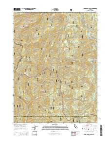
~ Bark Shanty Gulch CA topo map, 1:24000 scale, 7.5 X 7.5 Minute, 2015
Bark Shanty Gulch, California, USGS topographic map dated 2015.
Includes geographic coordinates (latitude and longitude). This topographic map is suitable for hiking, camping, and exploring, or framing it as a wall map.
Printed on-demand using high resolution imagery, on heavy weight and acid free paper, or alternatively on a variety of synthetic materials.
Topos available on paper, Waterproof, Poly, or Tyvek. Usually shipping rolled, unless combined with other folded maps in one order.
- Product Number: USGS-7975591
- Free digital map download (high-resolution, GeoPDF): Bark Shanty Gulch, California (file size: 26 MB)
- Map Size: please refer to the dimensions of the GeoPDF map above
- Weight (paper map): ca. 55 grams
- Map Type: POD USGS Topographic Map
- Map Series: US Topo
- Map Verison: Current
- Cell ID: 2404
- Datum: North American Datum of 1983
- Map Projection: Transverse Mercator
- Map Cell Name: Bark Shanty Gulch
- Grid size: 7.5 X 7.5 Minute
- Date on map: 2015
- Map Scale: 1:24000
- Geographical region: California, United States
Neighboring Maps:
All neighboring USGS topo maps are available for sale online at a variety of scales.
Spatial coverage:
Topo map Bark Shanty Gulch, California, covers the geographical area associated the following places:
- Beans Ridge - Irving Creek - Hines Camp - Reynolds Ridge - Prospect Hill Mine - Catsup Creek - Trail Mountain - Young Ranch - Natuket Creek - Salal Gulch - Donahue Flat - Beans Gulch - Maple Spring - Stanshaw Creek - Bald Mountain - Davis Creek - Halverson Creek - Hines Creek - Lightning Ridge - Ogaromtoc Lake - Reynolds Creek - Green Riffle - Prospect Hill - R Lyle Davis Bridge - Sandy Bar Creek - Teneyck Creek - Beans Camp - Lightning Gulch - Bark Shanty Gulch - Bark Shanty Camp
- Map Area ID: AREA41.541.375-123.625-123.5
- Northwest corner Lat/Long code: USGSNW41.5-123.625
- Northeast corner Lat/Long code: USGSNE41.5-123.5
- Southwest corner Lat/Long code: USGSSW41.375-123.625
- Southeast corner Lat/Long code: USGSSE41.375-123.5
- Northern map edge Latitude: 41.5
- Southern map edge Latitude: 41.375
- Western map edge Longitude: -123.625
- Eastern map edge Longitude: -123.5


