
~ West Lime Hills NM topo map, 1:24000 scale, 7.5 X 7.5 Minute, Historical, 2013
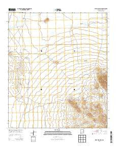
West Lime Hills, New Mexico, USGS topographic map dated 2013.
Includes geographic coordinates (latitude and longitude). This topographic map is suitable for hiking, camping, and exploring, or framing it as a wall map.
Printed on-demand using high resolution imagery, on heavy weight and acid free paper, or alternatively on a variety of synthetic materials.
Topos available on paper, Waterproof, Poly, or Tyvek. Usually shipping rolled, unless combined with other folded maps in one order.
- Product Number: USGS-7796668
- Free digital map download (high-resolution, GeoPDF): West Lime Hills, New Mexico (file size: 28 MB)
- Map Size: please refer to the dimensions of the GeoPDF map above
- Weight (paper map): ca. 55 grams
- Map Type: POD USGS Topographic Map
- Map Series: US Topo
- Map Verison: Historical
- Cell ID: 48214
- Datum: North American Datum of 1983
- Map Projection: Transverse Mercator
- Map Cell Name: West Lime Hills
- Grid size: 7.5 X 7.5 Minute
- Date on map: 2013
- Map Scale: 1:24000
- Geographical region: New Mexico, United States
Neighboring Maps:
All neighboring USGS topo maps are available for sale online at a variety of scales.
Spatial coverage:
Topo map West Lime Hills, New Mexico, covers the geographical area associated the following places:
- Jog Windmill - 10387 Water Well - Bassett Lake - Covert Tank - Manning Canyon - 10388 Water Well - Jog Tank - 01072 Water Well - Hood Tank - 00941 Water Well - 01669 Water Well - 05027 Water Well - White House Ranch - West Lime Hills - 01634 Water Well - 01631 Water Well - Mahoney Mining Area - Big Tank Draw - Sump Tank - Lonesome Cabin Draw - Mahoney Mines - 06044 Water Well - Cincinnati - Swope Windmill - Bisbee Draw - Lake Windmill - Black Hawk - 016067 Water Well - 01073 Water Well - Marie - Hancock - Tomerlin Draw - 01630 Water Well - 01076 Water Well - Big Tank - 00942 Water Well - 01632 Water Well - Suckerville Draw - 00952 Water Well - 06042 Water Well
- Map Area ID: AREA3231.875-107.875-107.75
- Northwest corner Lat/Long code: USGSNW32-107.875
- Northeast corner Lat/Long code: USGSNE32-107.75
- Southwest corner Lat/Long code: USGSSW31.875-107.875
- Southeast corner Lat/Long code: USGSSE31.875-107.75
- Northern map edge Latitude: 32
- Southern map edge Latitude: 31.875
- Western map edge Longitude: -107.875
- Eastern map edge Longitude: -107.75


