
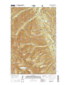
~ Howard Lake MT topo map, 1:24000 scale, 7.5 X 7.5 Minute, Current, 2014
Howard Lake, Montana, USGS topographic map dated 2014.
Includes geographic coordinates (latitude and longitude). This topographic map is suitable for hiking, camping, and exploring, or framing it as a wall map.
Printed on-demand using high resolution imagery, on heavy weight and acid free paper, or alternatively on a variety of synthetic materials.
Topos available on paper, Waterproof, Poly, or Tyvek. Usually shipping rolled, unless combined with other folded maps in one order.
- Product Number: USGS-7546280
- Free digital map download (high-resolution, GeoPDF): Howard Lake, Montana (file size: 39 MB)
- Map Size: please refer to the dimensions of the GeoPDF map above
- Weight (paper map): ca. 55 grams
- Map Type: POD USGS Topographic Map
- Map Series: US Topo
- Map Verison: Current
- Cell ID: 21263
- Datum: North American Datum of 1983
- Map Projection: Transverse Mercator
- Map Cell Name: Howard Lake
- Grid size: 7.5 X 7.5 Minute
- Date on map: 2014
- Map Scale: 1:24000
- Geographical region: Montana, United States
Neighboring Maps:
All neighboring USGS topo maps are available for sale online at a variety of scales.
Spatial coverage:
Topo map Howard Lake, Montana, covers the geographical area associated the following places:
- Lake Creek Trail - Bramlet Lake - Ramsey Lake - Howard Lake - Gloria Mine - Lost Horse Mountain - Shaw Mountain - Standard Creek Mine - Carney Pass - Wayup Mine - Mill Creek - Branagan Mine - Engle Peak - Lost Buck Pass - Geiger Lakes - Jumbo Mine - Twin Peaks - Great Northern Mountain - Ozette Lake - Standard Creek - Montezuma Mine - Flat Top Mountain - Rainbow Mine - Irish Boy Mine - Upper Bramlet Lake - Carney Peak - George Shaw Spring - Wanless Lake - Howard Creek - Upper Lake - American Kootenai Mine - Standard Lake - Golden West Mine - Fourth of July Creek - Buck Lake - West Fisher Creek Mine - Midas Mine - Cabinet Post Office (historical) - Libby Creek Mine - Howard Lake Campground - Geiger Lakes Mine - Great Northern Mine - Bramlet Creek Mine - Midas Point - Ojibway Peak - Howard Lake Mine
- Map Area ID: AREA48.12548-115.625-115.5
- Northwest corner Lat/Long code: USGSNW48.125-115.625
- Northeast corner Lat/Long code: USGSNE48.125-115.5
- Southwest corner Lat/Long code: USGSSW48-115.625
- Southeast corner Lat/Long code: USGSSE48-115.5
- Northern map edge Latitude: 48.125
- Southern map edge Latitude: 48
- Western map edge Longitude: -115.625
- Eastern map edge Longitude: -115.5


