
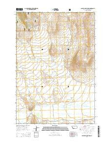
~ Bachelor Mountain MT topo map, 1:24000 scale, 7.5 X 7.5 Minute, Current, 2014
Bachelor Mountain, Montana, USGS topographic map dated 2014.
Includes geographic coordinates (latitude and longitude). This topographic map is suitable for hiking, camping, and exploring, or framing it as a wall map.
Printed on-demand using high resolution imagery, on heavy weight and acid free paper, or alternatively on a variety of synthetic materials.
Topos available on paper, Waterproof, Poly, or Tyvek. Usually shipping rolled, unless combined with other folded maps in one order.
- Product Number: USGS-7538310
- Free digital map download (high-resolution, GeoPDF): Bachelor Mountain, Montana (file size: 27 MB)
- Map Size: please refer to the dimensions of the GeoPDF map above
- Weight (paper map): ca. 55 grams
- Map Type: POD USGS Topographic Map
- Map Series: US Topo
- Map Verison: Current
- Cell ID: 2049
- Datum: North American Datum of 1983
- Map Projection: Transverse Mercator
- Map Cell Name: Bachelor Mountain
- Grid size: 7.5 X 7.5 Minute
- Date on map: 2014
- Map Scale: 1:24000
- Geographical region: Montana, United States
Neighboring Maps:
All neighboring USGS topo maps are available for sale online at a variety of scales.
Spatial coverage:
Topo map Bachelor Mountain, Montana, covers the geographical area associated the following places:
- Mansfield-Prohosky Ditch - Pierce Ranch - Poverty Flats - Alkali Creek - Pierce Ditch - Nolan (historical) - Browns Canyon - Shinebergers (historical) - Coyote Flats - 10S13W03BBAA01 Well - 09S13W15CDCC01 Well - South Fork Watson Creek - Bachelor Mountan - 09S13W14DBAB01 Well - 09S12W06BBCD01 Well - Spring Creek - 09S13W35ABCB01 Well - Trail Creek - Bloody Dick Creek - Prohosky Ditch - Watson Creek - Painter Creek - Rape Creek - Coyote Creek - Pierce Ranch Mine - Rawhide Creek - Hughes Ranch - Browns Creek - 09S13W08AA__01 Well - Spring Creek - Red Butte
- Map Area ID: AREA45.12545-113.25-113.125
- Northwest corner Lat/Long code: USGSNW45.125-113.25
- Northeast corner Lat/Long code: USGSNE45.125-113.125
- Southwest corner Lat/Long code: USGSSW45-113.25
- Southeast corner Lat/Long code: USGSSE45-113.125
- Northern map edge Latitude: 45.125
- Southern map edge Latitude: 45
- Western map edge Longitude: -113.25
- Eastern map edge Longitude: -113.125


