
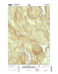
~ Round Lake ME topo map, 1:24000 scale, 7.5 X 7.5 Minute, 2014
Round Lake, Maine, USGS topographic map dated 2014.
Includes geographic coordinates (latitude and longitude). This topographic map is suitable for hiking, camping, and exploring, or framing it as a wall map.
Printed on-demand using high resolution imagery, on heavy weight and acid free paper, or alternatively on a variety of synthetic materials.
Topos available on paper, Waterproof, Poly, or Tyvek. Usually shipping rolled, unless combined with other folded maps in one order.
- Product Number: USGS-7257172
- Free digital map download (high-resolution, GeoPDF): Round Lake, Maine (file size: 26 MB)
- Map Size: please refer to the dimensions of the GeoPDF map above
- Weight (paper map): ca. 55 grams
- Map Type: POD USGS Topographic Map
- Map Series: US Topo
- Map Verison: Current
- Cell ID: 38742
- Datum: North American Datum of 1983
- Map Projection: Transverse Mercator
- Map Cell Name: Round Lake
- Grid size: 7.5 X 7.5 Minute
- Date on map: 2014
- Map Scale: 1:24000
- Geographical region: Maine, United States
Neighboring Maps:
All neighboring USGS topo maps are available for sale online at a variety of scales.
Spatial coverage:
Topo map Round Lake, Maine, covers the geographical area associated the following places:
- Seavey Stream - Birch Island - Cow Brook - Bear Brook - Love Lake - Rocky Brook - Indian Lake - Seavey Lake - Roaring Brook - Creamer Brook - Pine Island - Munson Rips - Beaverdam Stream - Rocky Lake Stream - Great Meadow - Palmer Brook - Round Lake Hills - Great Meadow Riffles - Talbot Ridge - T19 ED BPP - Rock Island - Upper Scott Brook - Washington County - Otter Lake - Joe Hanscom Heath - Round Lake - Oak Point Meadow - Middle Island
- Map Area ID: AREA4544.875-67.625-67.5
- Northwest corner Lat/Long code: USGSNW45-67.625
- Northeast corner Lat/Long code: USGSNE45-67.5
- Southwest corner Lat/Long code: USGSSW44.875-67.625
- Southeast corner Lat/Long code: USGSSE44.875-67.5
- Northern map edge Latitude: 45
- Southern map edge Latitude: 44.875
- Western map edge Longitude: -67.625
- Eastern map edge Longitude: -67.5


