
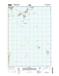
~ Hewett Island ME topo map, 1:24000 scale, 7.5 X 7.5 Minute, 2014
Hewett Island, Maine, USGS topographic map dated 2014.
Includes geographic coordinates (latitude and longitude). This topographic map is suitable for hiking, camping, and exploring, or framing it as a wall map.
Printed on-demand using high resolution imagery, on heavy weight and acid free paper, or alternatively on a variety of synthetic materials.
Topos available on paper, Waterproof, Poly, or Tyvek. Usually shipping rolled, unless combined with other folded maps in one order.
- Product Number: USGS-7256564
- Free digital map download (high-resolution, GeoPDF): Hewett Island, Maine (file size: 17 MB)
- Map Size: please refer to the dimensions of the GeoPDF map above
- Weight (paper map): ca. 55 grams
- Map Type: POD USGS Topographic Map
- Map Series: US Topo
- Map Verison: Current
- Cell ID: 70370
- Datum: North American Datum of 1983
- Map Projection: Transverse Mercator
- Map Cell Name: Hewett Island
- Grid size: 7.5 X 7.5 Minute
- Date on map: 2014
- Map Scale: 1:24000
- Geographical region: Maine, United States
Neighboring Maps:
All neighboring USGS topo maps are available for sale online at a variety of scales.
Spatial coverage:
Topo map Hewett Island, Maine, covers the geographical area associated the following places:
- Nash Point - Crow Island Ledges - Hewett Island Rocks - Yellow Ridge Island - False Halibut Rock - Hurricane Ledge - Burnt Island - Herring Ledge - Graffam Island - Cat Ledge - Halibut Rock - South Breaker - Yellow Ledge - Little Green Island - Muscle Ridge Islands - Lower Gangway Ledge - Yellow Ledge - Wheeler Big Rock - Southern Triangles - Sprucehead Island - Crow Island - Andrews Island - Bar Island - Two Bush Channel - Two Bush Reef - Two Bush Island Light - Mink Island - Flag Island - Alden Rock - Northern Triangles - Collins Rock - Home Harbor - Pleasant Island - Two Bush Island - Hewett Island - Hurricane Island - Little Two Bush Island - Green Point Shoal - Seal Island - Large Green Island - Nettle Island - Whitehead Island Light Station - Stallion Ledge
- Map Area ID: AREA4443.875-69.125-69
- Northwest corner Lat/Long code: USGSNW44-69.125
- Northeast corner Lat/Long code: USGSNE44-69
- Southwest corner Lat/Long code: USGSSW43.875-69.125
- Southeast corner Lat/Long code: USGSSE43.875-69
- Northern map edge Latitude: 44
- Southern map edge Latitude: 43.875
- Western map edge Longitude: -69.125
- Eastern map edge Longitude: -69


