
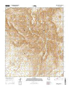
~ Markham Creek AZ topo map, 1:24000 scale, 7.5 X 7.5 Minute, 2014
Markham Creek, Arizona, USGS topographic map dated 2014.
Includes geographic coordinates (latitude and longitude). This topographic map is suitable for hiking, camping, and exploring, or framing it as a wall map.
Printed on-demand using high resolution imagery, on heavy weight and acid free paper, or alternatively on a variety of synthetic materials.
Topos available on paper, Waterproof, Poly, or Tyvek. Usually shipping rolled, unless combined with other folded maps in one order.
- Product Number: USGS-7240719
- Free digital map download (high-resolution, GeoPDF): Markham Creek, Arizona (file size: 26 MB)
- Map Size: please refer to the dimensions of the GeoPDF map above
- Weight (paper map): ca. 55 grams
- Map Type: POD USGS Topographic Map
- Map Series: US Topo
- Map Verison: Current
- Cell ID: 27753
- Datum: North American Datum of 1983
- Map Projection: Transverse Mercator
- Map Cell Name: Markham Creek
- Grid size: 7.5 X 7.5 Minute
- Date on map: 2014
- Map Scale: 1:24000
- Geographical region: Arizona, United States
Neighboring Maps:
All neighboring USGS topo maps are available for sale online at a variety of scales.
Spatial coverage:
Topo map Markham Creek, Arizona, covers the geographical area associated the following places:
- Oliver Trail Spring - Lopez Windmill - Line Camp Spring - Right Fork Markham Creek - Dry Prong - Ledge Spring - Ash Timber Spring - Oliver Knoll - Markham Creek - Brasswell Canyon - Oliver Spring - Gila Mountains - Rim Rock - Angel Trail Spring - Bull Springs - Treadway Mountain - Left Fork Markham Creek - Upper Waters Spring - Goat Spring - Treadway Spring - Studhorse Seep - Lopas Canyon - Big Spring Wash - Black Mountain - Brushy Tank - Table Mountain - Slaughter Mountain - Hot Springs Tank - Walnut Spring - Left Hand Spring - The Narrows
- Map Area ID: AREA33.12533-109.875-109.75
- Northwest corner Lat/Long code: USGSNW33.125-109.875
- Northeast corner Lat/Long code: USGSNE33.125-109.75
- Southwest corner Lat/Long code: USGSSW33-109.875
- Southeast corner Lat/Long code: USGSSE33-109.75
- Northern map edge Latitude: 33.125
- Southern map edge Latitude: 33
- Western map edge Longitude: -109.875
- Eastern map edge Longitude: -109.75


