
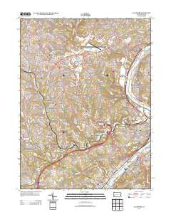
~ Glassport PA topo map, 1:24000 scale, 7.5 X 7.5 Minute, Historical, 2013
Glassport, Pennsylvania, USGS topographic map dated 2013.
Includes geographic coordinates (latitude and longitude). This topographic map is suitable for hiking, camping, and exploring, or framing it as a wall map.
Printed on-demand using high resolution imagery, on heavy weight and acid free paper, or alternatively on a variety of synthetic materials.
Topos available on paper, Waterproof, Poly, or Tyvek. Usually shipping rolled, unless combined with other folded maps in one order.
- Product Number: USGS-5950741
- Free digital map download (high-resolution, GeoPDF): Glassport, Pennsylvania (file size: 33 MB)
- Map Size: please refer to the dimensions of the GeoPDF map above
- Weight (paper map): ca. 55 grams
- Map Type: POD USGS Topographic Map
- Map Series: US Topo
- Map Verison: Historical
- Cell ID: 17386
- Datum: North American Datum of 1983
- Map Projection: Transverse Mercator
- Map Cell Name: Glassport
- Grid size: 7.5 X 7.5 Minute
- Date on map: 2013
- Map Scale: 1:24000
- Geographical region: Pennsylvania, United States
Neighboring Maps:
All neighboring USGS topo maps are available for sale online at a variety of scales.
Spatial coverage:
Topo map Glassport, Pennsylvania, covers the geographical area associated the following places:
- Mendelssohn - West Elizabeth - Clairton - Coal Valley - Pleasant Hills - Wylie - Whitehall - Cochrans Mill - New England - Broughton - Option - Brentwood - Bruceton - Floreffe - Wilson - Elrama - Jefferson Hills - Lincoln Place - Piney Fork - Gill Hall - Mifflin Junction - Curry - Snowden - Horning - Otto - Glassport - East Elizabeth - Experiment - Gastonville - Baldwin - Willock - Elizabeth - Blaine Hill - Pierce - Dravosburg - Camden - Surgeon Hall
- Map Area ID: AREA40.37540.25-80-79.875
- Northwest corner Lat/Long code: USGSNW40.375-80
- Northeast corner Lat/Long code: USGSNE40.375-79.875
- Southwest corner Lat/Long code: USGSSW40.25-80
- Southeast corner Lat/Long code: USGSSE40.25-79.875
- Northern map edge Latitude: 40.375
- Southern map edge Latitude: 40.25
- Western map edge Longitude: -80
- Eastern map edge Longitude: -79.875


