
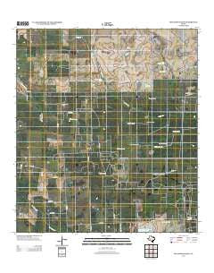
~ Seeligson Ranch TX topo map, 1:24000 scale, 7.5 X 7.5 Minute, Historical, 2013
Seeligson Ranch, Texas, USGS topographic map dated 2013.
Includes geographic coordinates (latitude and longitude). This topographic map is suitable for hiking, camping, and exploring, or framing it as a wall map.
Printed on-demand using high resolution imagery, on heavy weight and acid free paper, or alternatively on a variety of synthetic materials.
Topos available on paper, Waterproof, Poly, or Tyvek. Usually shipping rolled, unless combined with other folded maps in one order.
- Product Number: USGS-5929725
- Free digital map download (high-resolution, GeoPDF): Seeligson Ranch, Texas (file size: 18 MB)
- Map Size: please refer to the dimensions of the GeoPDF map above
- Weight (paper map): ca. 55 grams
- Map Type: POD USGS Topographic Map
- Map Series: US Topo
- Map Verison: Historical
- Cell ID: 40458
- Datum: North American Datum of 1983
- Map Projection: Transverse Mercator
- Map Cell Name: Seeligson Ranch
- Grid size: 7.5 X 7.5 Minute
- Date on map: 2013
- Map Scale: 1:24000
- Geographical region: Texas, United States
Neighboring Maps:
All neighboring USGS topo maps are available for sale online at a variety of scales.
Spatial coverage:
Topo map Seeligson Ranch, Texas, covers the geographical area associated the following places:
- New Windmill - Las Piedritas Cemetery - Devisadero Windmill - Seeligson Ranch - Narciso Windmill - Premont Oil Field - Driscoll Tank - Llano Ancho Windmill - Moos Windmill - Seeligson Ranch Airport - East Premont Oil Field - Llano Ancho Tank - Agua Fria Windmill - Wild Steer Swale - La Patrona Windmill - Duck Swale - Edwardo Windmill - Ochento Windmill - Government Tank - Seeligson Oil Field - Los Jaboncillos Ranch - Salado Creek - Rincon Windmill - New Tank - Ladder Windmill
- Map Area ID: AREA27.527.375-98.25-98.125
- Northwest corner Lat/Long code: USGSNW27.5-98.25
- Northeast corner Lat/Long code: USGSNE27.5-98.125
- Southwest corner Lat/Long code: USGSSW27.375-98.25
- Southeast corner Lat/Long code: USGSSE27.375-98.125
- Northern map edge Latitude: 27.5
- Southern map edge Latitude: 27.375
- Western map edge Longitude: -98.25
- Eastern map edge Longitude: -98.125


