~ Hartford CT topo map, 1:250000 scale, 1 X 2 Degree, Historical, 1962, updated 1976
Hartford, Connecticut, USGS topographic map dated 1962.
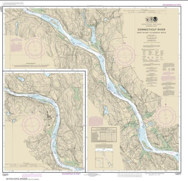
Includes geographic coordinates (latitude and longitude). This topographic map is suitable for hiking, camping, and exploring, or framing it as a wall map.
Printed on-demand using high resolution imagery, on heavy weight and acid free paper, or alternatively on a variety of synthetic materials.
Topos available on paper, Waterproof, Poly, or Tyvek. Usually shipping rolled, unless combined with other folded maps in one order.
- Product Number: USGS-5688602
- Free digital map download (high-resolution, GeoPDF): Hartford, Connecticut (file size: 25 MB)
- Map Size: please refer to the dimensions of the GeoPDF map above
- Weight (paper map): ca. 55 grams
- Map Type: POD USGS Topographic Map
- Map Series: HTMC
- Map Verison: Historical
- Cell ID: 72228
- Scan ID: 461618
- Imprint Year: 1976
- Woodland Tint: Yes
- Visual Version Number: 2
- Aerial Photo Year: 1974
- Edit Year: 1975
- Field Check Year: 1962
- Datum: Unstated
- Map Projection: Transverse Mercator
- Map published by United States Geological Survey
- Map published by: Military, Other
- Map Language: English
- Scanner Resolution: 600 dpi
- Map Cell Name: Hartford
- Grid size: 1 X 2 Degree
- Date on map: 1962
- Map Scale: 1:250000
- Geographical region: Connecticut, United States
Neighboring Maps:
All neighboring USGS topo maps are available for sale online at a variety of scales.
Spatial coverage:
Topo map Hartford, Connecticut, covers the geographical area associated the following places:
- Tompkins Corners - Elmwood - Romford - Bahre Corner - Northern Dutchess Mobile Home Park - Wiley Shelter - Sears Corners - Arnolds - Hayestown - Newberry Corner - Terryville - Quakertown - Lagrangeville - South Meriden - Yalesville - Allingtown - Milltown - Oakdale - Buckland - Silver Falls - Roxbury - South Britain - Emmons City (historical) - Ansonia - Rhinebeck Manor Mobile Home Park - Scotland - Stony Point - East Litchfield - Howland - Cedarhurst - Seaview Beach - Riverton - Burnside - Sylvan Lake - North Bloomfield - Westview Heights - Rocky Glen - Rhinecliff - Candlewood Shores - Chatsworth Village - Chimney Point - Bayview - Shelter Island - Shelton - Goodrichville - Leesville - Winnipauk Village - North Clove - Richards Corner - Greenport Homes - Hoskins - Poquonock Bridge - Jefferson Valley - Berkshire - Woodybrook - Granby - Northwest Harbor - Lake View Terrace - Mahopac Mines - Riverside - Knolls Trailer Court - New Hartford - Pleasant Valley - Paynes Corners - Orient - Millwood - Sharon - Easton - East Wallingford - Bigelow Corners - Noroton - South Kent - North Castle - Lime Rock - Stanwood - Grassy Hill (historical) - South Farms - Northville - Tall Oaks Mobile Home Park - Warehouse Point - East Hampton - Hoxie Corner - Floral Park - City of Milford (balance) - Hampsted - Bardonia - Candlewood Springs - Montowese - South Dover - Wormwood Hill - Neptune Park - Huntingtown - Avon - Mount Carmel - Chesterfield - Ulster Landing - Buckingham - West Shore - Nut Plains - Madison
- Map Area ID: AREA4241-74-72
- Northwest corner Lat/Long code: USGSNW42-74
- Northeast corner Lat/Long code: USGSNE42-72
- Southwest corner Lat/Long code: USGSSW41-74
- Southeast corner Lat/Long code: USGSSE41-72
- Northern map edge Latitude: 42
- Southern map edge Latitude: 41
- Western map edge Longitude: -74
- Eastern map edge Longitude: -72