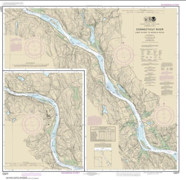
~ Hartford CT topo map, 1:250000 scale, 1 X 2 Degree, Historical, 1947, updated 1956
Hartford, Connecticut, USGS topographic map dated 1947.
Includes geographic coordinates (latitude and longitude). This topographic map is suitable for hiking, camping, and exploring, or framing it as a wall map.
Printed on-demand using high resolution imagery, on heavy weight and acid free paper, or alternatively on a variety of synthetic materials.
Topos available on paper, Waterproof, Poly, or Tyvek. Usually shipping rolled, unless combined with other folded maps in one order.
- Product Number: USGS-5688598
- Free digital map download (high-resolution, GeoPDF): Hartford, Connecticut (file size: 28 MB)
- Map Size: please refer to the dimensions of the GeoPDF map above
- Weight (paper map): ca. 55 grams
- Map Type: POD USGS Topographic Map
- Map Series: HTMC
- Map Verison: Historical
- Cell ID: 72228
- Scan ID: 461333
- Imprint Year: 1956
- Woodland Tint: Yes
- Datum: Unstated
- Map Projection: Transverse Mercator
- Shaded Relief map: Yes
- Map published by United States Army Corps of Engineers
- Map published by United States Army
- Map Language: English
- Scanner Resolution: 600 dpi
- Map Cell Name: Hartford
- Grid size: 1 X 2 Degree
- Date on map: 1947
- Map Scale: 1:250000
- Geographical region: Connecticut, United States
Neighboring Maps:
All neighboring USGS topo maps are available for sale online at a variety of scales.
Spatial coverage:
Topo map Hartford, Connecticut, covers the geographical area associated the following places:
- Birch Groves - Monroe - Elm Hill - Kingston - Attlebury - Lakeside Grove Mobile Home Park - Turkey Cobble - Willow Brook - Ta'agan Point - Nassau Farms - Candlewood Lake Club - Schoonhoven Park - West Shore - East Haddam - Richards Corner - Botsford - Cutchogue - Ledyard Center - Spackenkill - Springs - Bedlam Corner - Scovill Landing - Akins Corners - Oak Meadows Mobile Home Park - Brookside Park - Lord Corner (historical) - Johnson Park - Long Ridge - Sleightsburg - Bigelow Corners - Swartoutville - Hanover - Pine Meadow - Newtown - Stratford - Breakneck - Berlin - Lake Lincolndale - Bedford Four Corners - Clark Heights - Ludingtonville - Baileyville - Beaverbrook - Cheshire - Spruce Corner (historical) - Belltown - Verplanck - Corner of the Pines - Dennytown - Armoryville (historical) - Parkville - Cromwell - Harrisons - Peach Lake - Phoenixville - Ardsley - Rhinecliff - Wassaic - Mill Plain - Meadowbrook - Hopewell - Hungary - East Wallingford - Westchester - Oakland Gardens - Laughing Waters - Hamptonville - Orient - Northeast Center - Stevenson - Topstone - Maidstone Park - Noxon - Crowleys Corner - Corbin Heights Housing - Greenacres - Merrow - Burnham - Bayview - Northwest Harbor - Windsorville - Forbes Village - Holmes - Steinbeck Corners - Old Saybrook - Rock Ridge - Sunnyside Trailer Park - Tappan - Boston - Raynham - Kitemaug - Salmon Brook - Ellithorpe - Newington - Graniteville - Prospect - Milldale - Thralltown - Sparkill - Cannondale
- Map Area ID: AREA4241-74-72
- Northwest corner Lat/Long code: USGSNW42-74
- Northeast corner Lat/Long code: USGSNE42-72
- Southwest corner Lat/Long code: USGSSW41-74
- Southeast corner Lat/Long code: USGSSE41-72
- Northern map edge Latitude: 42
- Southern map edge Latitude: 41
- Western map edge Longitude: -74
- Eastern map edge Longitude: -72

