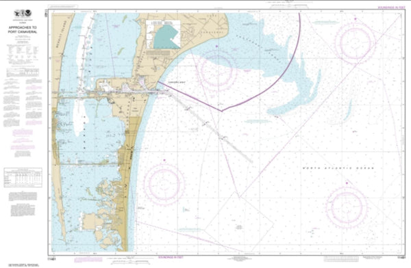
~ Tampa FL topo map, 1:24000 scale, 7.5 X 7.5 Minute, Historical, 2012
Tampa, Florida, USGS topographic map dated 2012.
Includes geographic coordinates (latitude and longitude). This topographic map is suitable for hiking, camping, and exploring, or framing it as a wall map.
Printed on-demand using high resolution imagery, on heavy weight and acid free paper, or alternatively on a variety of synthetic materials.
Topos available on paper, Waterproof, Poly, or Tyvek. Usually shipping rolled, unless combined with other folded maps in one order.
- Product Number: USGS-5655712
- Free digital map download (high-resolution, GeoPDF): Tampa, Florida (file size: 24 MB)
- Map Size: please refer to the dimensions of the GeoPDF map above
- Weight (paper map): ca. 55 grams
- Map Type: POD USGS Topographic Map
- Map Series: US Topo
- Map Verison: Historical
- Cell ID: 44262
- Datum: North American Datum of 1983
- Map Projection: Transverse Mercator
- Map Cell Name: Tampa
- Grid size: 7.5 X 7.5 Minute
- Date on map: 2012
- Map Scale: 1:24000
- Geographical region: Florida, United States
Neighboring Maps:
All neighboring USGS topo maps are available for sale online at a variety of scales.
Spatial coverage:
Topo map Tampa, Florida, covers the geographical area associated the following places:
- Oak Villa - Grove Heights - Murray Heights - Robles Park Estates - Buffalo Gardens - Marine Manor - Garden Acres - Gardenville - Galloway Heights - Half Way Place - Villa Bonnieventure - Altamira Heights - Palm - Witchmere - Pickron - Tibbettsville - Siglo Viente - Marc I - Panama - Lamb - La Petite - Garrett Heights - Colony Key - Florida Place - Capitano - Plaza Terrace - Belvoir - Jules Verne Park - Glovers - Palma Ceia Park - Hampton Terrace - Sultenfuss - The Willows of Hyde Park - Calvinos Liberty - Tampa - Orange Villa - Stylerite Estates - Romany Tan - Headford - Wades Half Acres - Bayfair - Bungalow Terrace - Harding - Ben Hur - Vedado - Wellswood Estates - Buffalo Park - Cartagena - Park View - Jenkins - Logans Park - Edgewater Park - Madrid - Beulah - Wagner Place - Guterman - Prospect Heights - Bayshore Court - Larsen Place - Moody Heights - Courtney Place - Golds - Garytown - Bay Bluff - Sunrise - Little Cuba - Roland Place - Riverside Estates - Hidden Haven - La Casa - Post Harbour Island - Centralia - Everett - Otis - Bonniehaven - Oaklyn - Jackson Heights - Cleveland Park - Westmont Terrace - Swann Terrace - Suburb Royal - Chamberlins - Verdier Park - Pons - Gary - Silver Moon - East Lake Park - Weiss - Zion Height - Hazard - Funks Home Park - Osborne Woods - Peeler Heights - Highway Park - Corronella - Palm River Estates - Habana Gardens North - Western Heights - Knowles - Jochumsen
- Map Area ID: AREA2827.875-82.5-82.375
- Northwest corner Lat/Long code: USGSNW28-82.5
- Northeast corner Lat/Long code: USGSNE28-82.375
- Southwest corner Lat/Long code: USGSSW27.875-82.5
- Southeast corner Lat/Long code: USGSSE27.875-82.375
- Northern map edge Latitude: 28
- Southern map edge Latitude: 27.875
- Western map edge Longitude: -82.5
- Eastern map edge Longitude: -82.375

