
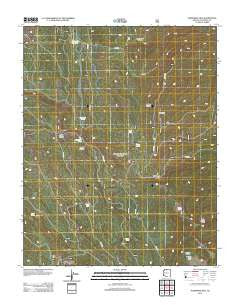
~ Telephone Hill AZ topo map, 1:24000 scale, 7.5 X 7.5 Minute, Historical, 2012
Telephone Hill, Arizona, USGS topographic map dated 2012.
Includes geographic coordinates (latitude and longitude). This topographic map is suitable for hiking, camping, and exploring, or framing it as a wall map.
Printed on-demand using high resolution imagery, on heavy weight and acid free paper, or alternatively on a variety of synthetic materials.
Topos available on paper, Waterproof, Poly, or Tyvek. Usually shipping rolled, unless combined with other folded maps in one order.
- Product Number: USGS-5641272
- Free digital map download (high-resolution, GeoPDF): Telephone Hill, Arizona (file size: 27 MB)
- Map Size: please refer to the dimensions of the GeoPDF map above
- Weight (paper map): ca. 55 grams
- Map Type: POD USGS Topographic Map
- Map Series: US Topo
- Map Verison: Historical
- Cell ID: 44489
- Datum: North American Datum of 1983
- Map Projection: Transverse Mercator
- Map Cell Name: Telephone Hill
- Grid size: 7.5 X 7.5 Minute
- Date on map: 2012
- Map Scale: 1:24000
- Geographical region: Arizona, United States
Neighboring Maps:
All neighboring USGS topo maps are available for sale online at a variety of scales.
Spatial coverage:
Topo map Telephone Hill, Arizona, covers the geographical area associated the following places:
- Pleasant Valley Cabin - Joes Mud Hole - Little Round Valley - Franks Canyon - Snipe Lake - Pleasant Valley - Kaibab Plateau Division - Glenn Lakes - Snipe Hollow - Moquitch Tank - Sixty Seven Apron - Red Point - Oquer Spring - Mile-and-a-half Lake - North Kaibab Ranger District - Telephone Hill - Crane Lake - Oquer Lake - East Lake - Kaibab Plateau - Franks Lake
- Map Area ID: AREA36.62536.5-112.25-112.125
- Northwest corner Lat/Long code: USGSNW36.625-112.25
- Northeast corner Lat/Long code: USGSNE36.625-112.125
- Southwest corner Lat/Long code: USGSSW36.5-112.25
- Southeast corner Lat/Long code: USGSSE36.5-112.125
- Northern map edge Latitude: 36.625
- Southern map edge Latitude: 36.5
- Western map edge Longitude: -112.25
- Eastern map edge Longitude: -112.125


