
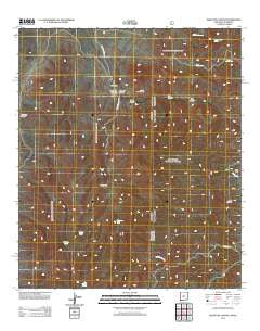
~ Skeleton Canyon NM topo map, 1:24000 scale, 7.5 X 7.5 Minute, Historical, 2012
Skeleton Canyon, New Mexico, USGS topographic map dated 2012.
Includes geographic coordinates (latitude and longitude). This topographic map is suitable for hiking, camping, and exploring, or framing it as a wall map.
Printed on-demand using high resolution imagery, on heavy weight and acid free paper, or alternatively on a variety of synthetic materials.
Topos available on paper, Waterproof, Poly, or Tyvek. Usually shipping rolled, unless combined with other folded maps in one order.
- Product Number: USGS-5640992
- Free digital map download (high-resolution, GeoPDF): Skeleton Canyon, New Mexico (file size: 29 MB)
- Map Size: please refer to the dimensions of the GeoPDF map above
- Weight (paper map): ca. 55 grams
- Map Type: POD USGS Topographic Map
- Map Series: US Topo
- Map Verison: Historical
- Cell ID: 41575
- Datum: North American Datum of 1983
- Map Projection: Transverse Mercator
- Map Cell Name: Skeleton Canyon
- Grid size: 7.5 X 7.5 Minute
- Date on map: 2012
- Map Scale: 1:24000
- Geographical region: New Mexico, United States
Neighboring Maps:
All neighboring USGS topo maps are available for sale online at a variety of scales.
Spatial coverage:
Topo map Skeleton Canyon, New Mexico, covers the geographical area associated the following places:
- Big Tank - Snure Ranch - Pony Canyon - Cowboy Tank - Deer Flat - Middle Deer Creek - Big Lake - Salt Canyon - Skeleton Canyon - Geronimo Tank - Lower Skeleton Tank - South Fork Skeleton Canyon - Pine Canyon - New Tank - Smith Tank - Whitmire Canyon Wilderness Study Area - Clanton Canyon Tank - Geronimo Surrender Site - Mexican Tank - Deer Creek Tank - Pine Canyon Tank - Woodchoppers Spring - Devils Kitchen - Ben Tank - South Deer Creek - Park Tank - Skeleton Tank - Rickys Tank - Starvation Canyon - Hog Canyon Spring - Starvation Tank - Patterson Tank
- Map Area ID: AREA31.62531.5-109.125-109
- Northwest corner Lat/Long code: USGSNW31.625-109.125
- Northeast corner Lat/Long code: USGSNE31.625-109
- Southwest corner Lat/Long code: USGSSW31.5-109.125
- Southeast corner Lat/Long code: USGSSE31.5-109
- Northern map edge Latitude: 31.625
- Southern map edge Latitude: 31.5
- Western map edge Longitude: -109.125
- Eastern map edge Longitude: -109


