
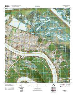
~ Chalmette LA topo map, 1:24000 scale, 7.5 X 7.5 Minute, Historical, 2012
Chalmette, Louisiana, USGS topographic map dated 2012.
Includes geographic coordinates (latitude and longitude). This topographic map is suitable for hiking, camping, and exploring, or framing it as a wall map.
Printed on-demand using high resolution imagery, on heavy weight and acid free paper, or alternatively on a variety of synthetic materials.
Topos available on paper, Waterproof, Poly, or Tyvek. Usually shipping rolled, unless combined with other folded maps in one order.
- Product Number: USGS-5637579
- Free digital map download (high-resolution, GeoPDF): Chalmette, Louisiana (file size: 24 MB)
- Map Size: please refer to the dimensions of the GeoPDF map above
- Weight (paper map): ca. 55 grams
- Map Type: POD USGS Topographic Map
- Map Series: US Topo
- Map Verison: Historical
- Cell ID: 69608
- Datum: North American Datum of 1983
- Map Projection: Transverse Mercator
- Map Cell Name: Chalmette
- Grid size: 7.5 X 7.5 Minute
- Date on map: 2012
- Map Scale: 1:24000
- Geographical region: Louisiana, United States
Neighboring Maps:
All neighboring USGS topo maps are available for sale online at a variety of scales.
Spatial coverage:
Topo map Chalmette, Louisiana, covers the geographical area associated the following places:
- Angelique Estates - Tall Timbers - Mohawk City - Saint Claude Heights - Forest Isle - Oak Ridge Park - Campbell - Frances Place - English Turn - Lexington Place - Hi-Land - Packenham Mobile Home Park - Fazende (historical) - Chalmette Mobile Home Park - Cutoff - Saxonholm - Dazet Estates - Dauterive Trailer Park - Story Park - Saint Bernard Grove - Chalmette - Violet - Daniel Park - Meraux - Little Rock (historical) - Timber Grove - Versailles - Chalmette Vista - Stanton - Aurora Gardens - Riveredge Trailer Park - Cypress Gardens - River Bend - Story - Myrtle Grove
- Map Area ID: AREA3029.875-90-89.875
- Northwest corner Lat/Long code: USGSNW30-90
- Northeast corner Lat/Long code: USGSNE30-89.875
- Southwest corner Lat/Long code: USGSSW29.875-90
- Southeast corner Lat/Long code: USGSSE29.875-89.875
- Northern map edge Latitude: 30
- Southern map edge Latitude: 29.875
- Western map edge Longitude: -90
- Eastern map edge Longitude: -89.875


