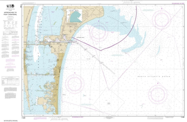
~ West Palm Beach FL topo map, 1:250000 scale, 1 X 2 Degree, Historical, 1956, updated 1964
West Palm Beach, Florida, USGS topographic map dated 1956.
Includes geographic coordinates (latitude and longitude). This topographic map is suitable for hiking, camping, and exploring, or framing it as a wall map.
Printed on-demand using high resolution imagery, on heavy weight and acid free paper, or alternatively on a variety of synthetic materials.
Topos available on paper, Waterproof, Poly, or Tyvek. Usually shipping rolled, unless combined with other folded maps in one order.
- Product Number: USGS-5621802
- Free digital map download (high-resolution, GeoPDF): West Palm Beach, Florida (file size: 19 MB)
- Map Size: please refer to the dimensions of the GeoPDF map above
- Weight (paper map): ca. 55 grams
- Map Type: POD USGS Topographic Map
- Map Series: HTMC
- Map Verison: Historical
- Cell ID: 69094
- Scan ID: 349056
- Imprint Year: 1964
- Woodland Tint: Yes
- Edit Year: 1963
- Datum: Unstated
- Map Projection: Transverse Mercator
- Map published by United States Army Corps of Engineers
- Map published by United States Army
- Map Language: English
- Scanner Resolution: 600 dpi
- Map Cell Name: West Palm Beach
- Grid size: 1 X 2 Degree
- Date on map: 1956
- Map Scale: 1:250000
- Geographical region: Florida, United States
Neighboring Maps:
All neighboring USGS topo maps are available for sale online at a variety of scales.
Spatial coverage:
Topo map West Palm Beach, Florida, covers the geographical area associated the following places:
- David Zell Trailer Park - Royal Palm Isles - Twin Pines Village Number 1 Mobile Home Park - North Palm Beach Heights - Coral Ridge Isles - Wrights Private Trailer Park - Collier Estates - Sabal Palm Court Mobile Home Park - Tara Park Mobile Home Park - Military Park - Sans Souci - Enchanting Shores Mobile Home Park - Buckingham - Breezy Hill Mobile Home Park - Moore Haven Trailer Park - Browardale - Palm Beach Lakes - A and P Trailer Court - Coral Estates - Pine Island Ridge - Lake Harbor - Colony Mobile Home Park - Wilton Manors - Soroka Shores - Floridale Mobile Home Colony - Felda - Holland Mobile Home Park - Coral Cay Plantation Mobile Home Park - Hanson Mobile Home Park - Deerfield Trailer Park - Royal Manor Mobile Home Estates - Swifts Trailer Park - Evening Star Trailer Park - County Line Trailer Park - Broward Gardens - Fox Mobile Home Park - Sunshine City Mobile Home Park - Marco Shores Estates Mobile Home Park - Delta - Cypress Lakes - Sugarland Mobile Home Park - Gulf Stream - Tropic Isle - Brentwood Estates - Broward Highlands - Bayshore Manor - Greenacres City - Hacienda Village - Palm and Pines Mobile Home Park - River Trails Mobile Home Park - Shell Island - Corkscrew - Whidden Corner - Bonita Springs - The Heritage Mobile Home Park - Park City West Mobile Home Park - Saint George - Garcias Mobile Home Park - Turkey Foot - Deerfield Lake Mobile Home Park - Hollywood Beach Gardens - Selhaven - Havenwood Mobile Home Community - Clewiston - Loxahatchee Groves - Telegraph Estates - North Lauderdale - Gulf Harbor - Iona - Enchanting Acres Mobile Home Park - Blue Grass Mobile Home Community - Coral Ridge - Country Lakes Community Mobile Home Park - Ocean Waterway Mobile Home Park - Harlem Heights - Lely - Carefree Cove Mobile Home Park - Johnsons Trailer Park - Lake Osborne Trailer Ranch - Bermont - Hillsboro Mobile Home Park - Naples - Middle River - Belvedere Homes - LaBelle - Tropical Trailer Gardens - Palm River Estates - El Patio Mobile Home Park - McGregor - Grices Trailer Park - Caribbean Key - Swan Lake Mobile Home Village - Middle River Manor - Belle Glade - Collier Park - Marlboro Court Mobile Home Community - Sand and Sea Village Mobile Home Park - Nurmi Isles - Robert's Trailer Park - Chapel Hill
- Map Area ID: AREA2726-82-80
- Northwest corner Lat/Long code: USGSNW27-82
- Northeast corner Lat/Long code: USGSNE27-80
- Southwest corner Lat/Long code: USGSSW26-82
- Southeast corner Lat/Long code: USGSSE26-80
- Northern map edge Latitude: 27
- Southern map edge Latitude: 26
- Western map edge Longitude: -82
- Eastern map edge Longitude: -80

