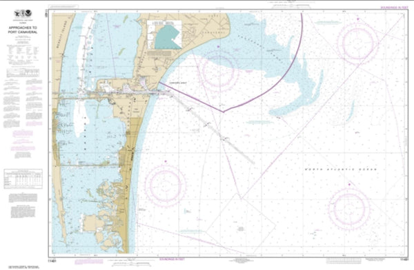
~ Plant City FL topo map, 1:250000 scale, 1 X 2 Degree, Historical, 1955, updated 1966
Plant City, Florida, USGS topographic map dated 1955.
Includes geographic coordinates (latitude and longitude). This topographic map is suitable for hiking, camping, and exploring, or framing it as a wall map.
Printed on-demand using high resolution imagery, on heavy weight and acid free paper, or alternatively on a variety of synthetic materials.
Topos available on paper, Waterproof, Poly, or Tyvek. Usually shipping rolled, unless combined with other folded maps in one order.
- Product Number: USGS-5621776
- Free digital map download (high-resolution, GeoPDF): Plant City, Florida (file size: 12 MB)
- Map Size: please refer to the dimensions of the GeoPDF map above
- Weight (paper map): ca. 55 grams
- Map Type: POD USGS Topographic Map
- Map Series: HTMC
- Map Verison: Historical
- Cell ID: 69047
- Scan ID: 348127
- Imprint Year: 1966
- Woodland Tint: Yes
- Edit Year: 1965
- Field Check Year: 1955
- Datum: Unstated
- Map Projection: Transverse Mercator
- Map published by United States Army Corps of Engineers
- Map published by United States Army
- Map Language: English
- Scanner Resolution: 600 dpi
- Map Cell Name: Tarpon Springs
- Grid size: 1 X 2 Degree
- Date on map: 1955
- Map Scale: 1:250000
- Geographical region: Florida, United States
Neighboring Maps:
All neighboring USGS topo maps are available for sale online at a variety of scales.
Spatial coverage:
Topo map Plant City, Florida, covers the geographical area associated the following places:
- Helen Winter Gardens - Todd Acres - Salamacha Acres - Norris - Temple Valley Estates - Hitchapukasse (historical) - Michaelangelo - Logan Gate Village - Resting Place - Wildewood Village - Burnbrook - Sumterville - Tuxedo Terrace - Sugarmill Woods - Manor Hills - West Park - Monaco Gardens - Canterbury Village - Parkwood Mobile Home Park - Northdale - Gardenia Heights - Harmony Heights - Estates at Parsons Pointe - Harris Landings - Weeki Wachee - Temple Terrace Junction - Shangri La Mobile Home Park - Northrop Terrace - Aripeka - Homosassa - Mandolin - Badgers Lair - The Manors at Crystal Lakes - Lakewood Manor - Cypress Meadows - Puleo Estates - Lake Pasadena Heights - Powell - Southern Acres - Glendale - South Clinton Heights - Livingston Oaks - Paradise Point - Country Oak Park - Lakes of Keystone - Temple Terrace Woods - Angel Farms Estates - Northton Groves - Marshall Heights - Northbridge at Lake Pretty - Riviera - Terrace Park - Jones Colony Acres - Marian - Brookshire - Waco - Heather Manor - Eilers - Trevi at Bay Lake - Carrollwood Estates - Green Meadow - Crystal River - Pauls Manor - Hardaman Acres - Country Road Acres - Oak Hill - Vandervort Acres - Fountain Park - Dover Groves - Devane Acres - Carrollwood West - Patons Park View - Hibiscus Gardens Mobile Home Park - Little Eleven - Cashwell - Citrus Acres - Fritzke Estates - Crystal Cove - Sunny Shores - Pebblebrook - Casa del Lago - Lake Ellen - Elfers - Saltmarsh - Tawesco Heights - Galloway - Alabama - Crystal Beach - Carver - Shady Pines - Wynn Haven Mobile Home Park - Carrollwood South - Pine Ridge - Pleasant Estates - Ridgeland Ranch - Carrollwood Cove - Orangewood Estates - Alderman - Bevell Place - Riverbend
- Map Area ID: AREA2928-84-82
- Northwest corner Lat/Long code: USGSNW29-84
- Northeast corner Lat/Long code: USGSNE29-82
- Southwest corner Lat/Long code: USGSSW28-84
- Southeast corner Lat/Long code: USGSSE28-82
- Northern map edge Latitude: 29
- Southern map edge Latitude: 28
- Western map edge Longitude: -84
- Eastern map edge Longitude: -82

