~ Block Island RI topo map, 1:100000 scale, 30 X 60 Minute, Historical, 1984, updated 1984
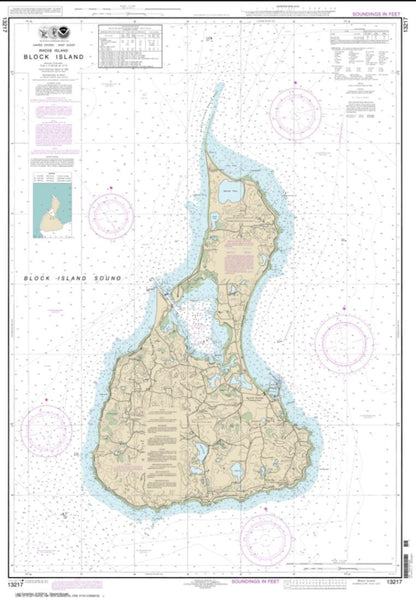
Block Island, Rhode Island, USGS topographic map dated 1984.
Includes geographic coordinates (latitude and longitude). This topographic map is suitable for hiking, camping, and exploring, or framing it as a wall map.
Printed on-demand using high resolution imagery, on heavy weight and acid free paper, or alternatively on a variety of synthetic materials.
Topos available on paper, Waterproof, Poly, or Tyvek. Usually shipping rolled, unless combined with other folded maps in one order.
- Product Number: USGS-5604638
- Free digital map download (high-resolution, GeoPDF): Block Island, Rhode Island (file size: 30 MB)
- Map Size: please refer to the dimensions of the GeoPDF map above
- Weight (paper map): ca. 55 grams
- Map Type: POD USGS Topographic Map
- Map Series: HTMC
- Map Verison: Historical
- Cell ID: 76782
- Scan ID: 353534
- Imprint Year: 1984
- Woodland Tint: Yes
- Aerial Photo Year: 1975
- Edit Year: 1984
- Datum: NAD27
- Map Projection: Universal Transverse Mercator
- Map published by United States Geological Survey
- Map Language: English
- Scanner Resolution: 600 dpi
- Map Cell Name: Block Island
- Grid size: 30 X 60 Minute
- Date on map: 1984
- Map Scale: 1:100000
- Geographical region: Rhode Island, United States
Neighboring Maps:
All neighboring USGS topo maps are available for sale online at a variety of scales.
Spatial coverage:
Topo map Block Island, Rhode Island, covers the geographical area associated the following places:
- West Kingston - Mystic Seaport - Langworthy Corner - Brudickville - Avondale - Weekapaug - Stillmanville - Sachuest - Wequetequock - Kingston Station - Seaweed Beach - Kenyon - Montauk Station - Shady Harbor - Arnolda - Haversham - Westerly - Brenton Village - West Mystic - Lords Point - Bonnet Shores - Bethel - Mystic - Tower Hill (historical) - Old Mystic - Laurel Glen - Rodman Crossing (historical) - Columbia Heights - Clarks Village - Charlestown - Pettaquamscutt Lake Shores - Curtis Corner - Charlestown Beach - Bridgetown - Green Hill - Shannock - Potter Hill - McGowan Corners - Clarks Falls - Wood River Junction - Tuckertown Four Corners - Narragansett Beach - Mooresfield - Noank - Perryville - Newport - Sakonnet - Whale Rock Light (historical) - Peace Dale - Isaacs Corner - Burdickville - Old Harbor Landing - Kingston - Montauk Beach - Galilee - New Shoreham - White Rock - Fort Ninigret - Montauk - Matunuck - Clarks Village - Ashaway - Burnetts Corner - North Stonington - Gould - Indian Lake Shores - Canonchet - Quonochontaug - Stonington - Alton - South Hopkinton - Misquamicut - Wakefield - Woodville - Snug Harbor - Ellis Flats - Dunn Landing - Quonochontaug Beach (historical) - Scarborough Hills - Purgatory - Tuckertown - South Ferry - Shelter Harbor - Jamestown - Shewville - Point Judith - Narragansett - Pawcatuck - Hopkinton - Carolina - Watch Hill - Ditch Plains - Bradford - Dunn Corner - Narragansett Pier - Bahia Corner - New Shoreham Center - Jerusalem - Rocky Brook
- Map Area ID: AREA41.541-72-71
- Northwest corner Lat/Long code: USGSNW41.5-72
- Northeast corner Lat/Long code: USGSNE41.5-71
- Southwest corner Lat/Long code: USGSSW41-72
- Southeast corner Lat/Long code: USGSSE41-71
- Northern map edge Latitude: 41.5
- Southern map edge Latitude: 41
- Western map edge Longitude: -72
- Eastern map edge Longitude: -71