
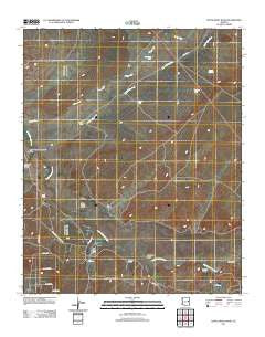
~ Little Milky Wash AZ topo map, 1:24000 scale, 7.5 X 7.5 Minute, Historical, 2011
Little Milky Wash, Arizona, USGS topographic map dated 2011.
Includes geographic coordinates (latitude and longitude). This topographic map is suitable for hiking, camping, and exploring, or framing it as a wall map.
Printed on-demand using high resolution imagery, on heavy weight and acid free paper, or alternatively on a variety of synthetic materials.
Topos available on paper, Waterproof, Poly, or Tyvek. Usually shipping rolled, unless combined with other folded maps in one order.
- Product Number: USGS-5546192
- Free digital map download (high-resolution, GeoPDF): Little Milky Wash, Arizona (file size: 17 MB)
- Map Size: please refer to the dimensions of the GeoPDF map above
- Weight (paper map): ca. 55 grams
- Map Type: POD USGS Topographic Map
- Map Series: US Topo
- Map Verison: Historical
- Cell ID: 26003
- Datum: North American Datum of 1983
- Map Projection: Transverse Mercator
- Map Cell Name: Little Milky Wash
- Grid size: 7.5 X 7.5 Minute
- Date on map: 2011
- Map Scale: 1:24000
- Geographical region: Arizona, United States
Neighboring Maps:
All neighboring USGS topo maps are available for sale online at a variety of scales.
Spatial coverage:
Topo map Little Milky Wash, Arizona, covers the geographical area associated the following places:
- Little Milky Wash - Cheney Draw - Sandoval Draw - Hay Hollow - Hay Hollow Draw - Pit Tank - T-H Ranch - Thompson Tank - Oso Draw - Benzes Draw - Milky Wash - Highway Tanks - Jeff Lake - Middle Tank - Purple Hill Tank - Milky Tank - West Hay Hollow Draw - Knoll Tank - Jeff Lake Draw - Cheney Flat - Wild Cow Wash - Goat Ranch Draw
- Map Area ID: AREA34.7534.625-109.875-109.75
- Northwest corner Lat/Long code: USGSNW34.75-109.875
- Northeast corner Lat/Long code: USGSNE34.75-109.75
- Southwest corner Lat/Long code: USGSSW34.625-109.875
- Southeast corner Lat/Long code: USGSSE34.625-109.75
- Northern map edge Latitude: 34.75
- Southern map edge Latitude: 34.625
- Western map edge Longitude: -109.875
- Eastern map edge Longitude: -109.75


