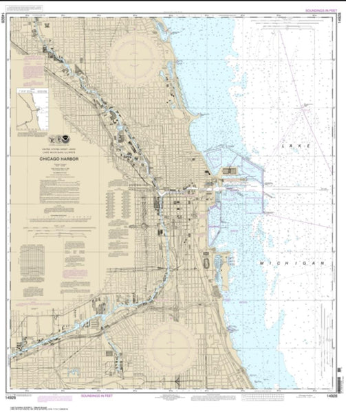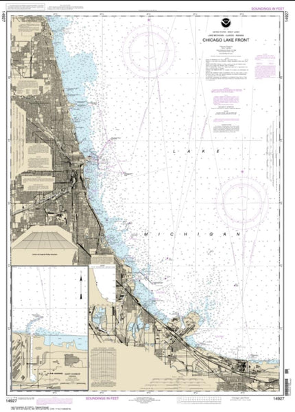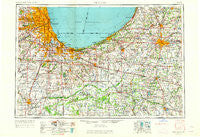
~ Chicago IL topo map, 1:250000 scale, 1 X 2 Degree, Historical, 1953, updated 1964
Chicago, Illinois, USGS topographic map dated 1953.
Includes geographic coordinates (latitude and longitude). This topographic map is suitable for hiking, camping, and exploring, or framing it as a wall map.
Printed on-demand using high resolution imagery, on heavy weight and acid free paper, or alternatively on a variety of synthetic materials.
Topos available on paper, Waterproof, Poly, or Tyvek. Usually shipping rolled, unless combined with other folded maps in one order.
- Product Number: USGS-5532913
- Free digital map download (high-resolution, GeoPDF): Chicago, Illinois (file size: 20 MB)
- Map Size: please refer to the dimensions of the GeoPDF map above
- Weight (paper map): ca. 55 grams
- Map Type: POD USGS Topographic Map
- Map Series: HTMC
- Map Verison: Historical
- Cell ID: 68714
- Scan ID: 310153
- Imprint Year: 1964
- Woodland Tint: Yes
- Aerial Photo Year: 1952
- Edit Year: 1964
- Field Check Year: 1953
- Datum: Unstated
- Map Projection: Transverse Mercator
- Map published by United States Geological Survey
- Map Language: English
- Scanner Resolution: 600 dpi
- Map Cell Name: Chicago
- Grid size: 1 X 2 Degree
- Date on map: 1953
- Map Scale: 1:250000
- Geographical region: Illinois, United States
Neighboring Maps:
All neighboring USGS topo maps are available for sale online at a variety of scales.
Spatial coverage:
Topo map Chicago, Illinois, covers the geographical area associated the following places:
- Spaniel Woods - Twin Creek - Shelby - Silverbrook Manufactured Home Community - Hazel Green - Stately Acres - Whiskey Point - Wanatah - Cookes Subdivision - Saint John - Lake - North Edgewater - Rochester - Kingstone Hills - Hicks - Glenwood - Arrow Ridge Mobile Home Park - South Elmhurst - Malden - Haglund - Babcock - Pierces Park - Nutwood - Armour Patch - Edgewater - Orchard Highlands - Western Acres - Lincoln Park - Flossmoor - Morgan Park - Berger - Door Village - Wilders - Hebron - New Lenox - Uptown - Doctor Parker Place - West Ravenwood - Stony Island Heights - Humboldt - Shawnee Mobile Home Court - Three Oaks - Gas Lite Mobile Home Park - Prairie Avenue Courts - South Lawndale - Buchanan - Lake Station - Mount Pleasant - Ravenswood Manor - La Crosse - Turner Shores - Bristol Heights - Deep River - Olive - North Harvey - Douglas - Leesville - Belshaw - Montrose - Gilletts - Springfield - Cinnamon Creek - Phoenix - Green Bay - Pinhook - North Judson - Bertrand - North Park - Five Points Corner - Tracy - LaPorte - South Deering - Windmill Estates - State Line - Farm View Hills - South Holland - Northwood Park - Greenwood - Bass Station - Galewood - Gombis - South Kenwood - Cornell - IXL Mobile Home Park - Country Acres Mobile Home Park - Hawthorne Hills - Brainerd - Hills Corners - Moffitt - Sokol Camp - Birchim - Smith - South Lynn - Chickasaw - Ridge Road Mobile Home Community - Country Oaks - Wedgewood Heights - Lake Bruce - Pheasant Hollow N - Collins (historical)
- Map Area ID: AREA4241-88-86
- Northwest corner Lat/Long code: USGSNW42-88
- Northeast corner Lat/Long code: USGSNE42-86
- Southwest corner Lat/Long code: USGSSW41-88
- Southeast corner Lat/Long code: USGSSE41-86
- Northern map edge Latitude: 42
- Southern map edge Latitude: 41
- Western map edge Longitude: -88
- Eastern map edge Longitude: -86

