
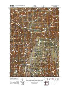
~ Big Rock Flat OR topo map, 1:24000 scale, 7.5 X 7.5 Minute, Historical, 2011
Big Rock Flat, Oregon, USGS topographic map dated 2011.
Includes geographic coordinates (latitude and longitude). This topographic map is suitable for hiking, camping, and exploring, or framing it as a wall map.
Printed on-demand using high resolution imagery, on heavy weight and acid free paper, or alternatively on a variety of synthetic materials.
Topos available on paper, Waterproof, Poly, or Tyvek. Usually shipping rolled, unless combined with other folded maps in one order.
- Product Number: USGS-5311660
- Free digital map download (high-resolution, GeoPDF): Big Rock Flat, Oregon (file size: 24 MB)
- Map Size: please refer to the dimensions of the GeoPDF map above
- Weight (paper map): ca. 55 grams
- Map Type: POD USGS Topographic Map
- Map Series: US Topo
- Map Verison: Historical
- Cell ID: 3810
- Datum: North American Datum of 1983
- Map Projection: Transverse Mercator
- Map Cell Name: Big Rock Flat
- Grid size: 7.5 X 7.5 Minute
- Date on map: 2011
- Map Scale: 1:24000
- Geographical region: Oregon, United States
Neighboring Maps:
All neighboring USGS topo maps are available for sale online at a variety of scales.
Spatial coverage:
Topo map Big Rock Flat, Oregon, covers the geographical area associated the following places:
- Hollywood Spring - Barlow Butte - Chickadee Spring - Chapin Creek - Box Canyon - Little Rock Flat - Three Trough Spring - Keeney Creek - Tupper Creek - Harris Canyon - Wesler Canyon - Bleakman Spring - SOB Spring - Sicklebar Spring - Anson Wright Memorial Park - Allen Canyon - Beaver Slide Ridge - Sunflower Flat - Harrington Spring - Matlock Spring (historical) - Tree Root Spring - Tupper Meadow - Big Rock Flat - Allen Spring - Raber Canyon - Snowshoe Flat - Big Flat Airstrip (historical) - Rough Canyon Reservoir - Tupper Corral - Opal Butte - Shaner Spring - Upper Keeney Spring - One Trough Canyon - Sperry Spring - Hollywood Creek - Board Creek - Morphine Canyon - Wildcat Spring - Reeds Mill - Aspen Spring - John Z Canyon - Parkers Mill - Morphine Ridge - Morphine Spring - Government Spring - Opal Spring - Parkers Mills Post Office (historical) - Toll Rock - One Trough Spring - Hothole Ridge - Aspen Creek - Davidson Canyon - Matlock Flat
- Map Area ID: AREA45.12545-119.625-119.5
- Northwest corner Lat/Long code: USGSNW45.125-119.625
- Northeast corner Lat/Long code: USGSNE45.125-119.5
- Southwest corner Lat/Long code: USGSSW45-119.625
- Southeast corner Lat/Long code: USGSSE45-119.5
- Northern map edge Latitude: 45.125
- Southern map edge Latitude: 45
- Western map edge Longitude: -119.625
- Eastern map edge Longitude: -119.5


