
~ Substitute Point OR topo map, 1:24000 scale, 7.5 X 7.5 Minute, Historical, 2011
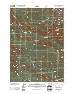
Substitute Point, Oregon, USGS topographic map dated 2011.
Includes geographic coordinates (latitude and longitude). This topographic map is suitable for hiking, camping, and exploring, or framing it as a wall map.
Printed on-demand using high resolution imagery, on heavy weight and acid free paper, or alternatively on a variety of synthetic materials.
Topos available on paper, Waterproof, Poly, or Tyvek. Usually shipping rolled, unless combined with other folded maps in one order.
- Product Number: USGS-5311022
- Free digital map download (high-resolution, GeoPDF): Substitute Point, Oregon (file size: 28 MB)
- Map Size: please refer to the dimensions of the GeoPDF map above
- Weight (paper map): ca. 55 grams
- Map Type: POD USGS Topographic Map
- Map Series: US Topo
- Map Verison: Historical
- Cell ID: 43589
- Datum: North American Datum of 1983
- Map Projection: Transverse Mercator
- Map Cell Name: Substitute Point
- Grid size: 7.5 X 7.5 Minute
- Date on map: 2011
- Map Scale: 1:24000
- Geographical region: Oregon, United States
Neighboring Maps:
All neighboring USGS topo maps are available for sale online at a variety of scales.
Spatial coverage:
Topo map Substitute Point, Oregon, covers the geographical area associated the following places:
- Kidney Lake - Three Sisters Wilderness - Separation Creek Cutoff - Lower Horse Lake - Sphinx Creek - Honey Lakes - Square Lake - Horse Lakes - Nash Lake - Water Holes Trail - Honey Creek Falls - Middle Horse Lake - Nash Lake Trail - Tokatee Lakes - Horse Creek Trail - Louise Creek Trail - Ingram Camp - Honey Creek - Separation Lake - Buck Meadows - George Creek - Harvey Creek - Buck Meadows Trail - Wildcat Creek - Cedar Swamp - Dillion Lake - Separation Creek Trail - Substitute Point - Drury Lake - Mesa Creek - Moonlight Lake - Foley Ridge Trail
- Map Area ID: AREA44.12544-122-121.875
- Northwest corner Lat/Long code: USGSNW44.125-122
- Northeast corner Lat/Long code: USGSNE44.125-121.875
- Southwest corner Lat/Long code: USGSSW44-122
- Southeast corner Lat/Long code: USGSSE44-121.875
- Northern map edge Latitude: 44.125
- Southern map edge Latitude: 44
- Western map edge Longitude: -122
- Eastern map edge Longitude: -121.875


