
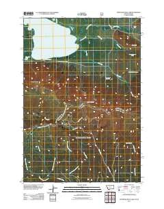
~ Upper Red Rock Lake MT topo map, 1:24000 scale, 7.5 X 7.5 Minute, Historical, 2011
Upper Red Rock Lake, Montana, USGS topographic map dated 2011.
Includes geographic coordinates (latitude and longitude). This topographic map is suitable for hiking, camping, and exploring, or framing it as a wall map.
Printed on-demand using high resolution imagery, on heavy weight and acid free paper, or alternatively on a variety of synthetic materials.
Topos available on paper, Waterproof, Poly, or Tyvek. Usually shipping rolled, unless combined with other folded maps in one order.
- Product Number: USGS-5272360
- Free digital map download (high-resolution, GeoPDF): Upper Red Rock Lake, Montana (file size: 18 MB)
- Map Size: please refer to the dimensions of the GeoPDF map above
- Weight (paper map): ca. 55 grams
- Map Type: POD USGS Topographic Map
- Map Series: US Topo
- Map Verison: Historical
- Cell ID: 46422
- Datum: North American Datum of 1983
- Map Projection: Transverse Mercator
- Map Cell Name: Upper Red Rock Lake
- Grid size: 7.5 X 7.5 Minute
- Date on map: 2011
- Map Scale: 1:24000
- Geographical region: Montana, United States
Neighboring Maps:
All neighboring USGS topo maps are available for sale online at a variety of scales.
Spatial coverage:
Topo map Upper Red Rock Lake, Montana, covers the geographical area associated the following places:
- Upper Lake Campground - Twin Creek - Shambow Pond - Sheep Mountain - Elk Creek - Middle Fork Trail - Taylor Mountain - Hanson Ranch - Howard Creek Trail - 14S01W22DDD_01 Spring - Taylor Creek Trail - 14S01E29DBAB01 Spring - West Fork Sheridan Creek - Taylor Mountain Mine - Tom Creek - Middle Fork Sheridan Creek - Carrot Canyon - 14S01E17BDB_01 Well - Frog Spring (historical) - Upper Red Rock Lake - 14S01W21CDD_01 Spring - 14S01E20CAB_01 Spring - Arrowhead Mountain - Brays Butte - Battle Creek - Sheridan Creek Trail
- Map Area ID: AREA44.62544.5-111.75-111.625
- Northwest corner Lat/Long code: USGSNW44.625-111.75
- Northeast corner Lat/Long code: USGSNE44.625-111.625
- Southwest corner Lat/Long code: USGSSW44.5-111.75
- Southeast corner Lat/Long code: USGSSE44.5-111.625
- Northern map edge Latitude: 44.625
- Southern map edge Latitude: 44.5
- Western map edge Longitude: -111.75
- Eastern map edge Longitude: -111.625


