
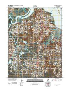
~ South Amboy NJ topo map, 1:24000 scale, 7.5 X 7.5 Minute, Historical, 2011
South Amboy, New Jersey, USGS topographic map dated 2011.
Includes geographic coordinates (latitude and longitude). This topographic map is suitable for hiking, camping, and exploring, or framing it as a wall map.
Printed on-demand using high resolution imagery, on heavy weight and acid free paper, or alternatively on a variety of synthetic materials.
Topos available on paper, Waterproof, Poly, or Tyvek. Usually shipping rolled, unless combined with other folded maps in one order.
- Product Number: USGS-5256769
- Free digital map download (high-resolution, GeoPDF): South Amboy, New Jersey (file size: 28 MB)
- Map Size: please refer to the dimensions of the GeoPDF map above
- Weight (paper map): ca. 55 grams
- Map Type: POD USGS Topographic Map
- Map Series: US Topo
- Map Verison: Historical
- Cell ID: 42136
- Datum: North American Datum of 1983
- Map Projection: Transverse Mercator
- Map Cell Name: South Amboy
- Grid size: 7.5 X 7.5 Minute
- Date on map: 2011
- Map Scale: 1:24000
- Geographical region: New Jersey, United States
Neighboring Maps:
All neighboring USGS topo maps are available for sale online at a variety of scales.
Spatial coverage:
Topo map South Amboy, New Jersey, covers the geographical area associated the following places:
- Old Bridge - Sayre Woods - Thomas J Dohany Homes - Laurel Park - Madison Park - Brunswick Gardens - Cheesequake - Sayreville - Morgan - Sayreville Station - Parlin - Phoenix - Mechanicsville - Browntown - South Amboy - Sayreville Junction - Ernston - MacArthur Manor - Cottrell Corners - Melrose - Henningers Mill - Crossmans - East Spotswood - Morristown - Runyon - South Old Bridge - Brownville - Gillespie - Morgan Heights - Sayerwood South
- Map Area ID: AREA40.540.375-74.375-74.25
- Northwest corner Lat/Long code: USGSNW40.5-74.375
- Northeast corner Lat/Long code: USGSNE40.5-74.25
- Southwest corner Lat/Long code: USGSSW40.375-74.375
- Southeast corner Lat/Long code: USGSSE40.375-74.25
- Northern map edge Latitude: 40.5
- Southern map edge Latitude: 40.375
- Western map edge Longitude: -74.375
- Eastern map edge Longitude: -74.25


