
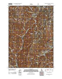
~ Warm Springs Point ID topo map, 1:24000 scale, 7.5 X 7.5 Minute, Historical, 2011
Warm Springs Point, Idaho, USGS topographic map dated 2011.
Includes geographic coordinates (latitude and longitude). This topographic map is suitable for hiking, camping, and exploring, or framing it as a wall map.
Printed on-demand using high resolution imagery, on heavy weight and acid free paper, or alternatively on a variety of synthetic materials.
Topos available on paper, Waterproof, Poly, or Tyvek. Usually shipping rolled, unless combined with other folded maps in one order.
- Product Number: USGS-5243469
- Free digital map download (high-resolution, GeoPDF): Warm Springs Point, Idaho (file size: 24 MB)
- Map Size: please refer to the dimensions of the GeoPDF map above
- Weight (paper map): ca. 55 grams
- Map Type: POD USGS Topographic Map
- Map Series: US Topo
- Map Verison: Historical
- Cell ID: 47486
- Datum: North American Datum of 1983
- Map Projection: Transverse Mercator
- Map Cell Name: Warm Springs Point
- Grid size: 7.5 X 7.5 Minute
- Date on map: 2011
- Map Scale: 1:24000
- Geographical region: Idaho, United States
Neighboring Maps:
All neighboring USGS topo maps are available for sale online at a variety of scales.
Spatial coverage:
Topo map Warm Springs Point, Idaho, covers the geographical area associated the following places:
- Valley of the Pines Volunteer Fire Department - North Fork Rattlesnake Creek - Rattlesnake Creek - Clear Creek - Granite Creek - Wild Horse Creek - Deadhorse Gulch - Holcomb Guard Station - Warm Springs Point - South Fork Sugar Creek - Greenland Gulch - McKinley Gulch - Horse Spring Gulch - Rye Flat - Monazite Gulch - New York Gulch - Casner Mountain - Cold Springs Gulch - Manhattan Creek - South Fork Rattlesnake Creek - Wild Goat Creek - Rocky Gulch - Johnny Woods Gulch - North Fork Sugar Creek - Big Gulch - Lass Gulch - Valley of the Pines Volunteer Fire Department - Macks Creek - Hahn Gulch - Sugar Creek - Gregory Gulch - Milk Ranch Gulch - Willow Creek - Pine Creek
- Map Area ID: AREA43.87543.75-116-115.875
- Northwest corner Lat/Long code: USGSNW43.875-116
- Northeast corner Lat/Long code: USGSNE43.875-115.875
- Southwest corner Lat/Long code: USGSSW43.75-116
- Southeast corner Lat/Long code: USGSSE43.75-115.875
- Northern map edge Latitude: 43.875
- Southern map edge Latitude: 43.75
- Western map edge Longitude: -116
- Eastern map edge Longitude: -115.875


