
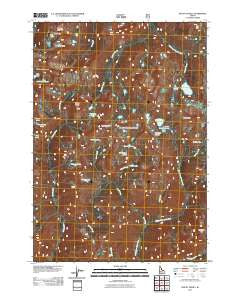
~ Mount Everly ID topo map, 1:24000 scale, 7.5 X 7.5 Minute, Historical, 2011
Mount Everly, Idaho, USGS topographic map dated 2011.
Includes geographic coordinates (latitude and longitude). This topographic map is suitable for hiking, camping, and exploring, or framing it as a wall map.
Printed on-demand using high resolution imagery, on heavy weight and acid free paper, or alternatively on a variety of synthetic materials.
Topos available on paper, Waterproof, Poly, or Tyvek. Usually shipping rolled, unless combined with other folded maps in one order.
- Product Number: USGS-5243435
- Free digital map download (high-resolution, GeoPDF): Mount Everly, Idaho (file size: 23 MB)
- Map Size: please refer to the dimensions of the GeoPDF map above
- Weight (paper map): ca. 55 grams
- Map Type: POD USGS Topographic Map
- Map Series: US Topo
- Map Verison: Historical
- Cell ID: 30583
- Datum: North American Datum of 1983
- Map Projection: Transverse Mercator
- Map Cell Name: Mount Everly
- Grid size: 7.5 X 7.5 Minute
- Date on map: 2011
- Map Scale: 1:24000
- Geographical region: Idaho, United States
Neighboring Maps:
All neighboring USGS topo maps are available for sale online at a variety of scales.
Spatial coverage:
Topo map Mount Everly, Idaho, covers the geographical area associated the following places:
- Low Pass Lake - Lake Ingeborg - Island Lake - Pancho Lake - Camp Lake - Spangle Lakes - Blacknose Mountain - Arrowhead Lake - Three Island Lake - Ardeth Lake - Tenlake Basin - Benedict Creek - Little Spangle Lake - South Raker - Timpa Lake - Mount Everly - Surprise Lake - Dandy Lake - Mattingly Peak - Cliff Lake - Timpa Creek - The Rakers - Pats Lake - Tenlake Basin - Plummer Peak - Flytrip Creek - Tenlake Creek - Billy Creek - Benedict Lake - North Raker - Everly Lake - Spangle Lake - Confusion Lake - Rock Creek - Snowbank Lake - Glens Peak - Chickadee Lake - Nanny Creek - Blue Jay Lake - Rock Slide Lake - Plummer Lake
- Map Area ID: AREA4443.875-115.125-115
- Northwest corner Lat/Long code: USGSNW44-115.125
- Northeast corner Lat/Long code: USGSNE44-115
- Southwest corner Lat/Long code: USGSSW43.875-115.125
- Southeast corner Lat/Long code: USGSSE43.875-115
- Northern map edge Latitude: 44
- Southern map edge Latitude: 43.875
- Western map edge Longitude: -115.125
- Eastern map edge Longitude: -115


