
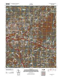
~ Hillsborough NC topo map, 1:24000 scale, 7.5 X 7.5 Minute, Historical, 2010
Hillsborough, North Carolina, USGS topographic map dated 2010.
Includes geographic coordinates (latitude and longitude). This topographic map is suitable for hiking, camping, and exploring, or framing it as a wall map.
Printed on-demand using high resolution imagery, on heavy weight and acid free paper, or alternatively on a variety of synthetic materials.
Topos available on paper, Waterproof, Poly, or Tyvek. Usually shipping rolled, unless combined with other folded maps in one order.
- Product Number: USGS-5233477
- Free digital map download (high-resolution, GeoPDF): Hillsborough, North Carolina (file size: 31 MB)
- Map Size: please refer to the dimensions of the GeoPDF map above
- Weight (paper map): ca. 55 grams
- Map Type: POD USGS Topographic Map
- Map Series: US Topo
- Map Verison: Historical
- Cell ID: 20499
- Datum: North American Datum of 1983
- Map Projection: Transverse Mercator
- Map Cell Name: Hillsborough
- Grid size: 7.5 X 7.5 Minute
- Date on map: 2010
- Map Scale: 1:24000
- Geographical region: North Carolina, United States
Neighboring Maps:
All neighboring USGS topo maps are available for sale online at a variety of scales.
Spatial coverage:
Topo map Hillsborough, North Carolina, covers the geographical area associated the following places:
- Cabes Ford - Whispering Pines - Dimmocks Mill - Colonial Hills - Mountain View - University - Bluffs of Eno - Strayhorn Hills - University Acres - Eastwood - Cornwallis Hills - Poplar Ridge - Fairview - Stagecoach Run - Hillsborough - Kingsboro Estates - New Hope - Oak Ridge - Greenbriar - Wildwood - Piney Grove - Hideaway Estates - Jappa Oaks - Walnut Cove - Wilkerson Acres - West Hillsborough - Orange Heights - Colonial Park - Falls of New Hope - Sunshine Acres - Rosewood - Brigadoon - Eno - Hillcrest - Windy Hill Farm - Oakdale Farms
- Map Area ID: AREA36.12536-79.125-79
- Northwest corner Lat/Long code: USGSNW36.125-79.125
- Northeast corner Lat/Long code: USGSNE36.125-79
- Southwest corner Lat/Long code: USGSSW36-79.125
- Southeast corner Lat/Long code: USGSSE36-79
- Northern map edge Latitude: 36.125
- Southern map edge Latitude: 36
- Western map edge Longitude: -79.125
- Eastern map edge Longitude: -79


