
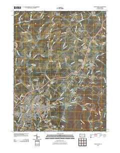
~ Uniontown PA topo map, 1:24000 scale, 7.5 X 7.5 Minute, Historical, 2010
Uniontown, Pennsylvania, USGS topographic map dated 2010.
Includes geographic coordinates (latitude and longitude). This topographic map is suitable for hiking, camping, and exploring, or framing it as a wall map.
Printed on-demand using high resolution imagery, on heavy weight and acid free paper, or alternatively on a variety of synthetic materials.
Topos available on paper, Waterproof, Poly, or Tyvek. Usually shipping rolled, unless combined with other folded maps in one order.
- Product Number: USGS-5219087
- Free digital map download (high-resolution, GeoPDF): Uniontown, Pennsylvania (file size: 13 MB)
- Map Size: please refer to the dimensions of the GeoPDF map above
- Weight (paper map): ca. 55 grams
- Map Type: POD USGS Topographic Map
- Map Series: US Topo
- Map Verison: Historical
- Cell ID: 46368
- Datum: North American Datum of 1983
- Map Projection: Transverse Mercator
- Map Cell Name: Uniontown
- Grid size: 7.5 X 7.5 Minute
- Date on map: 2010
- Map Scale: 1:24000
- Geographical region: Pennsylvania, United States
Neighboring Maps:
All neighboring USGS topo maps are available for sale online at a variety of scales.
Spatial coverage:
Topo map Uniontown, Pennsylvania, covers the geographical area associated the following places:
- Mount Braddock - West Leisenring - Hatfield - Mahoning - Vances Mill - Walker - Bute - Uniontown - Graham Crossing - Bethelboro - Oliver - Juniata - Mount Hope - Hogsett - Phillips - East Uniontown - Monarch - Leith - Hopwood - Percy - Youngstown - Lemont Furnace - Mount Independence - South Uniontown - Morgan - Evans - Little Summit - Evans Manor - Coolspring - Bitner - Leisenring - Jumonville - Elm Grove - Laurel Hill
- Map Area ID: AREA4039.875-79.75-79.625
- Northwest corner Lat/Long code: USGSNW40-79.75
- Northeast corner Lat/Long code: USGSNE40-79.625
- Southwest corner Lat/Long code: USGSSW39.875-79.75
- Southeast corner Lat/Long code: USGSSE39.875-79.625
- Northern map edge Latitude: 40
- Southern map edge Latitude: 39.875
- Western map edge Longitude: -79.75
- Eastern map edge Longitude: -79.625


