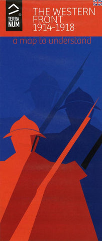
World War 1 : The Western Front 1914-1918
For the first time ever, a map explaining the chronological sequence of events and main themes of the First World War on Europes Western Front has been created using Rollmap©, the innovative map-reading concept.
Ergonomic advantages of this map
-The format easily fits a jacket or shirt pocket, can be unfolded when out and about or in the car without blocking the drivers view..., can easily be taken on a walk or cycle ride.
-The unfolded size is 70 cm (27.5) wide by 42 cm (16.5) tall.
-The innovative feature of this map is that it can be gradually unfolded leaving a vertical strip of map image measuring approximately 8 cm (3.15) x 20 cm (7.87) visible to explore with each fold; the inside fold is parallel with this image.
-The information concerning each map fold opened can be found immediately alongside it.
-The gradual opening of the map from East to West adapts perfectly to the development of the conflict over time; first battles in Lor
- Product Number: TNUM_WW1_17
- Reference Product Number: 2265962M
- ISBN: 9782954898216
- Date of Publication: 6/1/2017
- Folded Size: 4.25 inches high by 9.5 inches wide
- Unfolded (flat) Size: 27.5 inches high by 16.5 inches wide
- Map format: Folded
- Map type: Trade Maps - Historical
- Geographical region: Belgium,France,Germany,Switzerland,United Kingdom