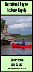

Fond du Lac 1 2 3 River Map | Canoe Routes | by GoTrekkers
Map of Canoe routes of Fond du Lac River 1 2 3 Saskatchewan. scale 1:50,000.
Set of 3 maps of The Fond Du Lac River Area in North Central Saskatchewan, Canada. Waterfound bay to Redbank Rapids, Redbank to Brink Rapids & Brink to Black Lake. These maps are 21" x 27", 41" x 15" & 34" x 21" & come with a 12" x 13" waterproof map bag & shows suggested canoe route with forest fire burns. Maps were made in conjunction with Ric Driediger at Churchill Horizons Canoe in Saskatchewan. Scale 1:50,000.