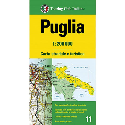
Puglia : 1:200 000
The road and tourist map of Puglia is printed on waterproof and tear-resistant PolyArt paper.
Map side covers the Gulf of Taranto up to Lake Lesina, with insets of region, Tremiti Islands, and Brindisi/Lecce area. Reverse includes index and distance chart with instructions in French, German, Italian, Spanish, and English.
This regional map with a 1:200,000 scale includes a detailed road network with information on the characteristics of each road - such as number of lanes, grade of incline, and tolls.
An extensive classification of places of interest to tourists is also included, along with information about protected natural areas.
On the reverse of the map, there is an index of main towns with distances in kilometers between them.
- Product Number: TCI_PUGLIA_23
- Reference Product Number: - None -
- ISBN: 9788836579730
- Date of Publication: 2/24/2023
- Folded Size: 9 inches high by 5 inches wide
- Unfolded (flat) Size: 36 inches high by 60 inches wide
- Map format: Folded
- Map type: Trade Maps - Tourist
- Geographical region: Italy

